| The Gap New South Wales | |
|---|---|
 The Gap Creek crossing on The Gap Road | |
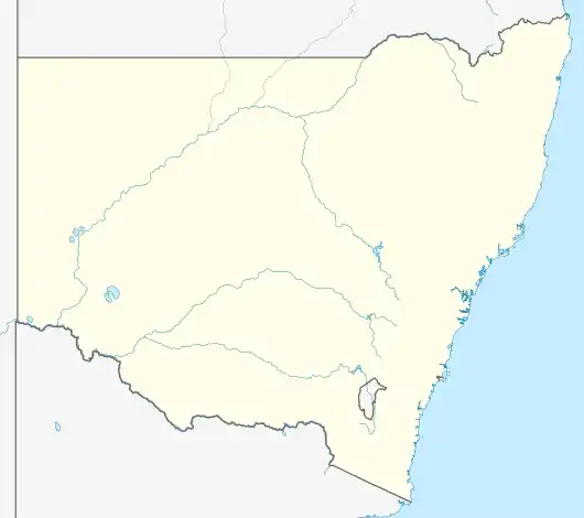  The Gap | |
| Coordinates | 34°59′55″S 147°16′04″E / 34.99861°S 147.26778°E |
| Population | 62 (2016 census)[1] |
| Postcode(s) | 2650 |
| LGA(s) | City of Wagga Wagga |
| County | Clarendon |
| State electorate(s) | Wagga Wagga |
The Gap is a farming community in the central east part of the Riverina close to Wagga Wagga.[2]
References
- ↑ Australian Bureau of Statistics (27 June 2017). "The Gap (State Suburb)". 2016 Census QuickStats. Retrieved 27 June 2017.
- ↑ "The Gap". Geographical Names Register (GNR) of NSW. Geographical Names Board of New South Wales. Retrieved 4 August 2013.
This article is issued from Wikipedia. The text is licensed under Creative Commons - Attribution - Sharealike. Additional terms may apply for the media files.