| Thouaret | |
|---|---|
 | |
  | |
| Location | |
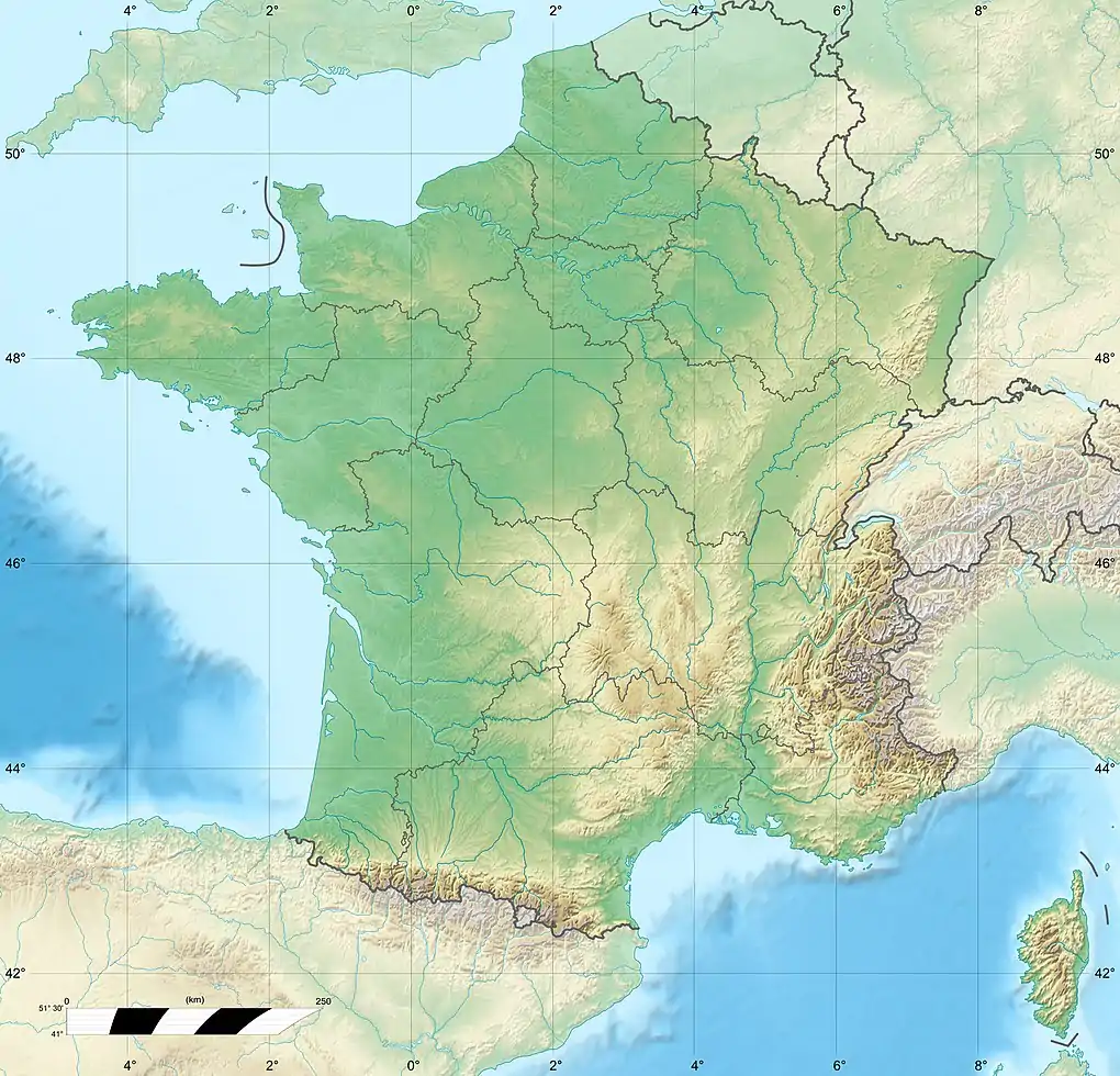
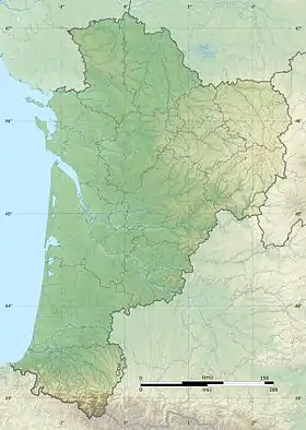
| Country | France |
| Physical characteristics | |
| Mouth | |
• location | Thouet |
• coordinates | 46°55′44″N 0°9′28″E / 46.92889°N 0.15778°E |
| Length | 52 km (32 mi) |
| Basin features | |
| Progression | Thouet→ Loire→ Atlantic Ocean |
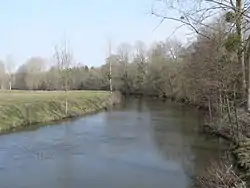
The Thouaret (French pronunciation: [twaʁɛ]) is a 52 km (32 mi) river in the Nouvelle-Aquitaine region in western France. It is a right tributary of the Thouet.[1]
Its source is in the commune of Chanteloup, and its course crosses the department of Deux-Sèvres, where it flows northeast through the towns of La Chapelle-Saint-Laurent, Chiché and Saint-Varent, finally flowing into the Thouet near Thouars.
References
This article is issued from Wikipedia. The text is licensed under Creative Commons - Attribution - Sharealike. Additional terms may apply for the media files.