| Tin Mountain | |
|---|---|
.jpg.webp) Tin Mountain in the background, shrouded. | |
| Highest point | |
| Elevation | 8,953 ft (2,729 m)[1] |
| Prominence | 3,993 ft (1,217 m)[2] |
| Isolation | 28.05 mi (45.14 km)[2] |
| Coordinates | 36°53′12″N 117°27′22″W / 36.88667°N 117.45611°W[1] |
| Geography | |
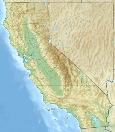 Tin Mountain Location in the state of California | |
| Parent range | Panamint Range |
| Topo map | USGS Tin Mountain |
Tin Mountain is an 8,953-foot (2,729 m) summit in the Panamint Range in northern Death Valley National Park, California, located north of Teakettle Junction.
See also
References
- 1 2 U.S. Geological Survey Geographic Names Information System: Tin Mountain
- 1 2 Tin Mountain at Peakbagger.com
This article is issued from Wikipedia. The text is licensed under Creative Commons - Attribution - Sharealike. Additional terms may apply for the media files.