Tinningstedt | |
|---|---|
 Coat of arms | |
Location of Tinningstedt within Nordfriesland district 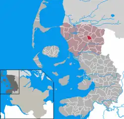 | |
 Tinningstedt 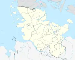 Tinningstedt | |
| Coordinates: 54°49′N 8°55′E / 54.817°N 8.917°E | |
| Country | Germany |
| State | Schleswig-Holstein |
| District | Nordfriesland |
| Municipal assoc. | Südtondern |
| Government | |
| • Mayor | Dirk Enewaldsen |
| Area | |
| • Total | 8.91 km2 (3.44 sq mi) |
| Elevation | 10 m (30 ft) |
| Population (2022-12-31)[1] | |
| • Total | 244 |
| • Density | 27/km2 (71/sq mi) |
| Time zone | UTC+01:00 (CET) |
| • Summer (DST) | UTC+02:00 (CEST) |
| Postal codes | 25917 |
| Dialling codes | 04662 |
| Vehicle registration | NF |
| Website | www.tinningstedt.de |
Tinningstedt (Danish: Tinningsted, North Frisian: Taningstää) is a municipality in the district of Nordfriesland, in Schleswig-Holstein, Germany. Most of the area is divided up into oddly shaped divisions of land. The area is primarily rural, with open country.[2]
References
- ↑ "Bevölkerung der Gemeinden in Schleswig-Holstein 4. Quartal 2022" (XLS) (in German). Statistisches Amt für Hamburg und Schleswig-Holstein.
- ↑ "Google Maps". Google Maps. Retrieved 2017-08-01.
2. https://www.google.com/maps/place/25917+Tinningstedt,+Germany/@54.8090
This article is issued from Wikipedia. The text is licensed under Creative Commons - Attribution - Sharealike. Additional terms may apply for the media files.