Tizzano Val Parma | |
|---|---|
| Comune di Tizzano Val Parma | |
_-_facciata_e_lato_sud_1_2022-05-12.jpg.webp) San Pietro | |
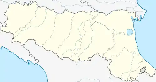
Location of Tizzano Val Parma | |
 Tizzano Val Parma Location of Tizzano Val Parma in Italy  Tizzano Val Parma Tizzano Val Parma (Emilia-Romagna) | |
| Coordinates: 44°31′N 10°12′E / 44.517°N 10.200°E | |
| Country | Italy |
| Region | Emilia-Romagna |
| Province | Parma (PR) |
| Frazioni | Albazzano, Antognola, Anzolla, Boschetto, Capoponte, Capriglio, Carobbio, Carpaneto, Casa Galvani, Casale di Vezzano, Casola, Costa, Groppizioso, Groppo, Isola, Lagrimone, Madurera, Moragnano, Musiara Inferiore, Musiara Superiore, Pianestola, Pietta, Pratolungo, Reno, Rusino, Schia, Treviglio,Verzume |
| Government | |
| • Mayor | Amilcare Bodria |
| Area | |
| • Total | 78.2 km2 (30.2 sq mi) |
| Elevation | 800 m (2,600 ft) |
| Population (31 May 2007)[2] | |
| • Total | 2,096 |
| • Density | 27/km2 (69/sq mi) |
| Demonym | Tizzanesi |
| Time zone | UTC+1 (CET) |
| • Summer (DST) | UTC+2 (CEST) |
| Postal code | 43028 |
| Dialing code | 0521 |
| Website | Official website |
Tizzano Val Parma (Parmigiano: Tisàn) is a comune (municipality) in the Province of Parma in the Italian region Emilia-Romagna, located about 90 kilometres (56 mi) west of Bologna and about 35 kilometres (22 mi) southwest of Parma.
References
- ↑ "Superficie di Comuni Province e Regioni italiane al 9 ottobre 2011". Italian National Institute of Statistics. Retrieved 16 March 2019.
- ↑ All demographics and other statistics: Italian statistical institute Istat.
This article is issued from Wikipedia. The text is licensed under Creative Commons - Attribution - Sharealike. Additional terms may apply for the media files.
