| Tolisa | |
|---|---|
  | |
| Location | |
| Country | Bosnia and Herzegovina |
| Physical characteristics | |
| Source | |
| • location | on the slopes of Trebava |
| Mouth | |
• location | Sava, between Tolisa, Orašje and Domaljevac |
• coordinates | 45°03′25″N 18°38′43″E / 45.05694°N 18.64528°E [1] |
| Length | 56.2 km (34.9 mi) [2] |
| Basin features | |
| Progression | Sava→ Danube→ Black Sea |
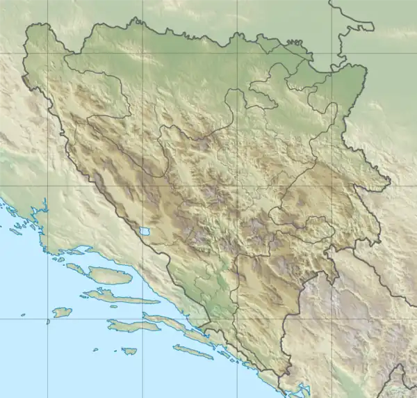
Tolisa is a river in Bosnia and Herzegovina, a right tributary Sava. It is 56.2 kilometers long.[3] It springs on the slopes of Trebava at an altitude of 440 meters, and flows into the Sava between Tolisa, Orašje and Domaljevac. The altitude of the estuary is 81 meters.[4]
References
- ↑ Tolisa, Federation of Bosnia and Herzegovina, Bosnia and Herzegovinaa Mindat.org
- ↑ "Sava River Basin Analysis Report" (PDF). International Sava River Basin Commission. September 2009. p. 14. Archived from the original (PDF, 9.98 MB) on 2010-07-17.
- ↑ "Rijeke i jezera" [Rivers and lakes]. fzs.ba. Archived from the original on 28 August 2011. Retrieved 3 May 2011.
- ↑ Rijeka Tolisa
This article is issued from Wikipedia. The text is licensed under Creative Commons - Attribution - Sharealike. Additional terms may apply for the media files.