Toukoto | |
|---|---|
Commune and town | |
 Toukoto Bakoy.jpg | |
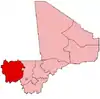
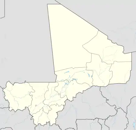 Toukoto Location in Mali | |
| Coordinates: 13°27′0″N 9°52′45″W / 13.45000°N 9.87917°W | |
| Country | |
| Region | Kayes Region |
| Cercle | Kita Cercle |
| Population (2009)[1] | |
| • Total | 10,020 |
| Time zone | UTC+0 (GMT) |
Toukoto is a small town and commune near the confluence of the Bakoy and Baloué rivers in the Cercle of Kita in the Kayes Region of south-western Mali. As well as the town of Toukoto, the commune includes 5 other villages.[2] In the 2009 census the commune had a population of 10,020.[1]
References
- 1 2 Resultats Provisoires RGPH 2009 (Région de Kayes) (PDF) (in French), République de Mali: Institut National de la Statistique.
- ↑ Communes de la Région de Kayes (PDF) (in French), Ministère de l’administration territoriale et des collectivités locales, République du Mali, archived from the original (PDF) on 2012-03-09.
External links
- Plan de Sécurité Alimentaire Commune Rurale de Toukoto 2007-2011 (PDF) (in French), Commissariat à la Sécurité Alimentaire, République du Mali, USAID-Mali, 2006.
This article is issued from Wikipedia. The text is licensed under Creative Commons - Attribution - Sharealike. Additional terms may apply for the media files.