Tudor, California | |
|---|---|
 Tudor, California  Tudor, California | |
| Coordinates: 39°00′18″N 121°37′25″W / 39.00500°N 121.62361°W | |
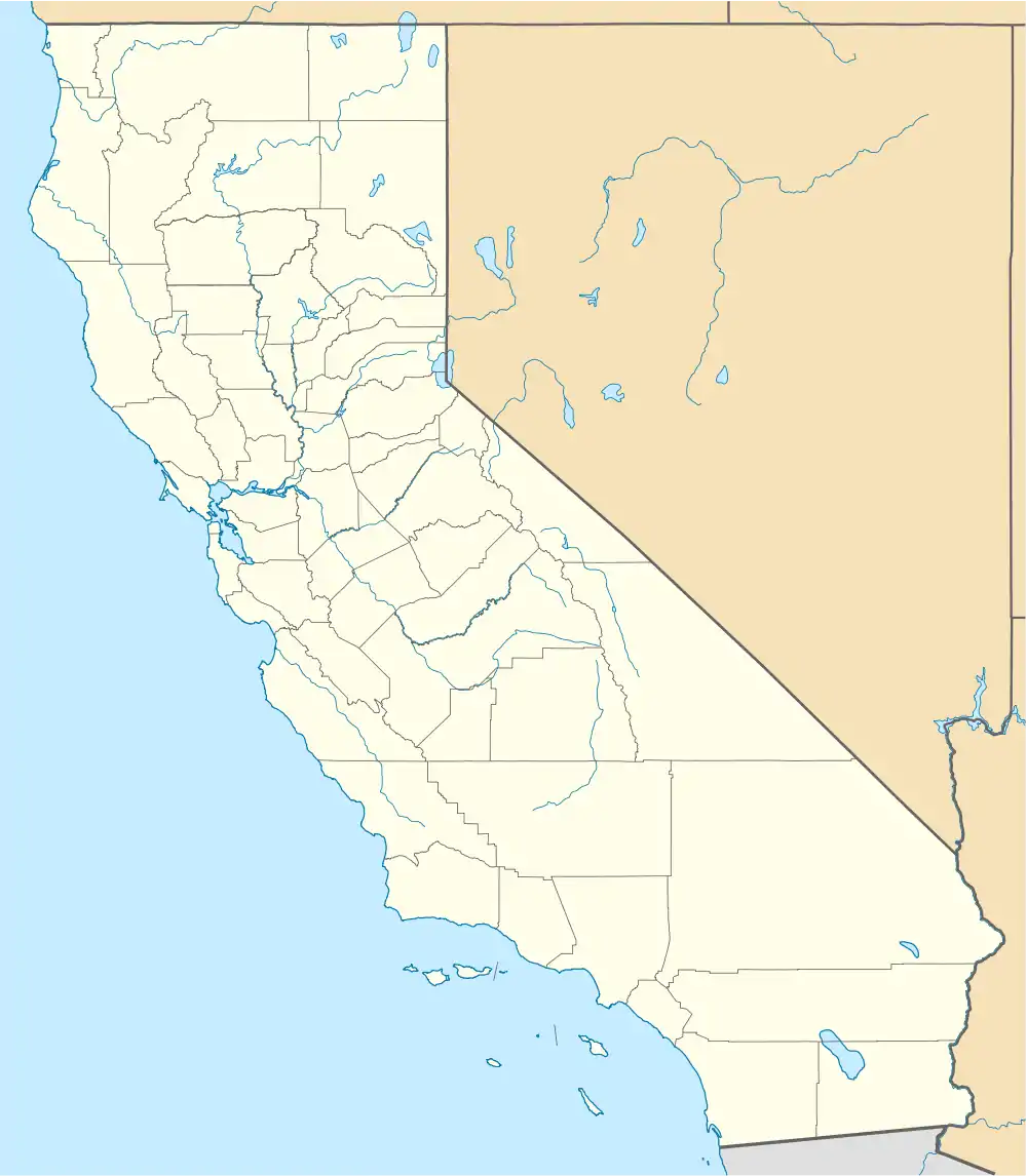
| Country | United States |
| State | California |
| County | Sutter |
| Elevation | 43 ft (13 m) |
| Time zone | UTC-8 (Pacific (PST)) |
| • Summer (DST) | UTC-7 (PDT) |
| Area code | 530 |
| GNIS feature ID | 1660038[1] |
Tudor is an unincorporated community in Sutter County, California, United States.[1][2] In the early twentieth century, Tudor was a major center of bean farming, with lima, kidney, and blackeye beans grown in the area.[3]
Notes
- 1 2 "Tudor, California". Geographic Names Information System. United States Geological Survey, United States Department of the Interior.
- ↑ Tudor Topo Map in Sutter County CA
- ↑ "Late Agricultural News". Pacific Rural Press. San Francisco, CA. June 13, 1925. Retrieved November 24, 2023.
Municipalities and communities of Sutter County, California, United States | ||
|---|---|---|
| Cities | 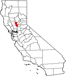 Sutter County map | |
| CDPs | ||
| Unincorporated communities | ||
This article is issued from Wikipedia. The text is licensed under Creative Commons - Attribution - Sharealike. Additional terms may apply for the media files.