Tuineje | |
|---|---|
Municipality | |
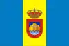 Flag .svg.png.webp) Coat of arms | |
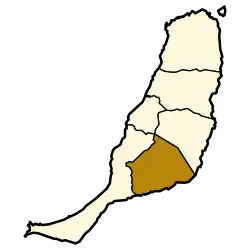 Municipal location in Fuerteventura | |
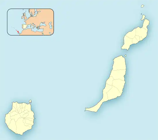 Tuineje Location in the province of Las Palmas  Tuineje Tuineje (Canary Islands) 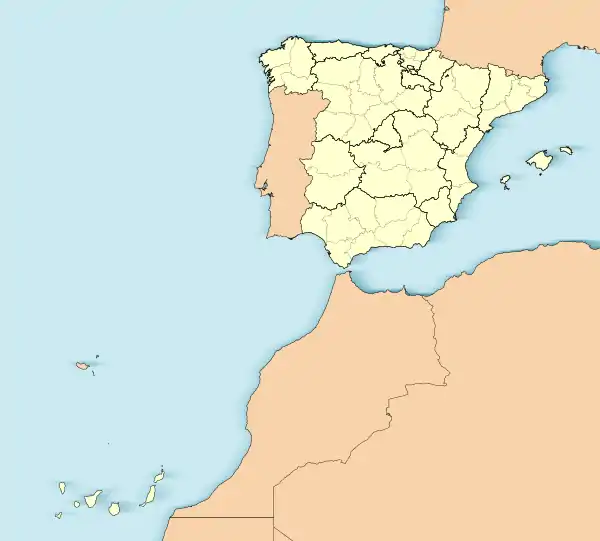 Tuineje Tuineje (Spain, Canary Islands) | |
| Coordinates: 28°19′30″N 14°2′55″W / 28.32500°N 14.04861°W | |
| Country | |
| Autonomous Community | |
| Province | Las Palmas |
| Island | Fuerteventura |
| Government | |
| • Mayor | Salvador Delgado (CC) |
| Area | |
| • Total | 275.94 km2 (106.54 sq mi) |
| Elevation (AMSL) | 205 m (673 ft) |
| Population (2018)[2] | |
| • Total | 14,791 |
| • Density | 54/km2 (140/sq mi) |
| Time zone | UTC+0 (CET) |
| • Summer (DST) | UTC+1 (CEST (GMT +1)) |
| Postal code | 35629 |
| Area code | +34 (Spain) + 928 (Las Palmas) |
| Website | www.tuineje.es |
Tuineje is a town and a municipality in the southern part of the island of Fuerteventura in the Province of Las Palmas, Canary Islands, Spain. The population is 13,946 (2013),[3] and the area is 275.94 km2.[1] The largest town in the municipality is Gran Tarajal, on the south coast.
History
Tuineje was the site of the two battles between the locals and English privateers in 1740.
Notable people
- Aridane Hernández (born 1989), professional footballer
Gallery
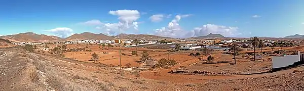 Tuineje village
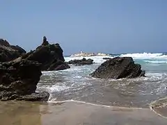 Tuineje
 Lighthouse of La Entallada, Tuineje
See also
Wikimedia Commons has media related to Tuineje.
References
- 1 2 Instituto Canario de Estadística, area
- ↑ Municipal Register of Spain 2018. National Statistics Institute.
- ↑ Instituto Canario de Estadística Archived 2014-04-19 at the Wayback Machine, population
Places adjacent to Tuineje | ||||||||||||||||
|---|---|---|---|---|---|---|---|---|---|---|---|---|---|---|---|---|
| ||||||||||||||||
This article is issued from Wikipedia. The text is licensed under Creative Commons - Attribution - Sharealike. Additional terms may apply for the media files.