Tulata
Тулата | |
|---|---|
Selo | |
 Tulata  Tulata | |
| Coordinates: 51°18′N 83°25′E / 51.300°N 83.417°E[1] | |
| Country | Russia |
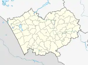
| Region | Altai Krai |
| District | Charyshsky District |
| Time zone | UTC+7:00 |
Tulata (Russian: Тулата) is a rural locality (a selo) and the administrative center of Tulatinsky Selsoviet, Charyshsky District, Altai Krai, Russia. The population was 728 as of 2013.[2] There are 28 streets.
Geography
Tulata is located 20 km southwest of Charyshskoye (the district's administrative centre) by road. Krasny Partizan is the nearest rural locality.[3]
References
- ↑ Карта Чарышского района Алтайского края
- ↑ Численность населения по муниципальным образованиям на 1 января 2011, 2012, 2013 гг. (в том числе по населённым пунктам) по данным текущего учёта
- ↑ Расстояние от Тулаты до Чарышского
This article is issued from Wikipedia. The text is licensed under Creative Commons - Attribution - Sharealike. Additional terms may apply for the media files.