Tundama Province
Provincia de Tundama | |
|---|---|
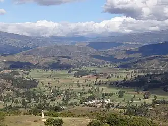 View of Floresta | |
| Etymology: Tundama | |
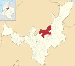 Location of Tundama Province in Colombia | |
| Coordinates: 5°50′00″N 73°01′00″W / 5.83333°N 73.01667°W | |
| Country | Colombia |
| Department | Boyacá |
| Capital | Duitama |
| Municipalities | 9 |
| Area | |
| • Total | 1,328.43 km2 (512.91 sq mi) |
| Population (2015) | |
| • Total | 178,252 |
| • Density | 130/km2 (350/sq mi) |
| Time zone | UTC−5 (COT) |
| Indigenous groups | Muisca |
The Tundama Province is a province of the Colombian Department of Boyacá. The province is formed by 9 municipalities.
Etymology
Subdivision
The Tundama Province comprises 9 municipalities:[2]
| Municipality bold is capital |
Area km² |
Elevation (m) urban centre |
Population 2015 |
Founded | Map |
|---|---|---|---|---|---|
| Belén | 283.6 | 2650 | 7400 | 1762 |  |
| Busbanzá | 22.5 | 2472 | 1156 | 1602 |  |
| Cerinza | 61.63 | 2750 | 3762 | 1554 | 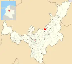 |
| Corrales | 60.85 | 2470 | 2273 | 1782 | 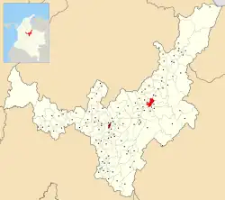 |
| Duitama | 266.93 | 2590 | 113,105 | 1819 | 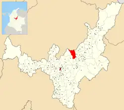 |
| Floresta | 85 | 2506 | 4523 | 1818 | 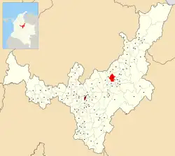 |
| Paipa | 305.92 | 2525 | 30,740 | 1602 | 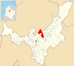 |
| Santa Rosa de Viterbo | 107 | 2753 | 13,403 | 1690 |  |
| Tutazá | 135 | 2700 | 1890 | 1849 |  |
| Total | 1328.43 | 178,252 |
References
- ↑ (in Spanish) Etymology Tundama - Excelsio.net
- ↑ (in Spanish) Provincias de Boyacá
This article is issued from Wikipedia. The text is licensed under Creative Commons - Attribution - Sharealike. Additional terms may apply for the media files.