Turka | |
|---|---|
Village | |
_04.jpg.webp) Old manor house in Turka | |
 Turka | |
| Coordinates: 51°17′N 22°40′E / 51.283°N 22.667°E | |
| Country | |
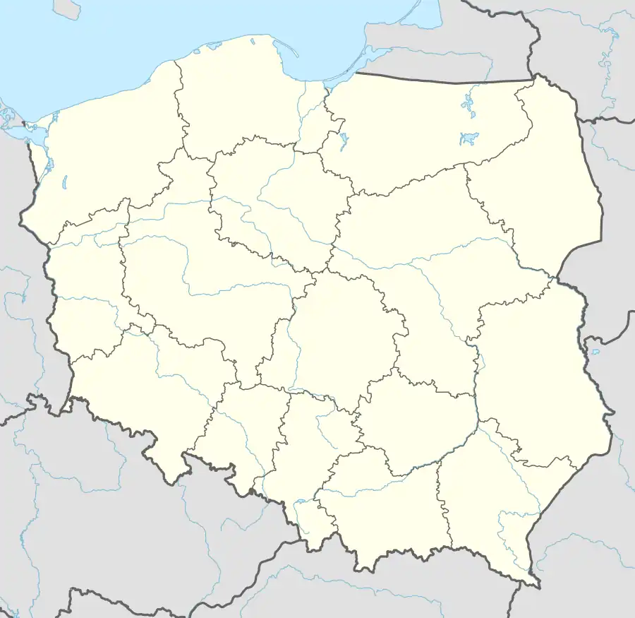
| Voivodeship | Lublin |
| County | Lublin |
| Gmina | Wólka |
| Population (2009) | |
| • Total | 3,214 |
| Time zone | UTC+1 (CET) |
| • Summer (DST) | UTC+2 (CEST) |
| Postal code | 20-258[1] |
| Vehicle registration | LUB |
Turka [ˈturka] is a village in the administrative district of Gmina Wólka, within Lublin County, Lublin Voivodeship, in eastern Poland. It lies approximately 8 km (5 mi) north-east of the regional capital Lublin.[2] It is situated on the on the Bystrzyca River.
Demographics
| Year | Pop. | ±% |
|---|---|---|
| 1827 | 200 | — |
| 1921 | 475 | +137.5% |
| Source: [3][4] | ||
In 1921, the population was entirely Polish by nationality.[4]
References
- ↑ "Oficjalny Spis Pocztowych Numerów Adresowych" (PDF). Poczta Polska (in Polish). Retrieved 11 January 2024.
- ↑ "Central Statistical Office (GUS) – TERYT (National Register of Territorial Land Apportionment Journal)" (in Polish). 2008-06-01.
- ↑ Słownik geograficzny Królestwa Polskiego i innych krajów słowiańskich, Tom XII (in Polish). Warszawa. 1892. p. 639.
{{cite book}}: CS1 maint: location missing publisher (link) - 1 2 Skorowidz miejscowości Rzeczypospolitej Polskiej (in Polish). Vol. IV. Warszawa: Główny Urząd Statystyczny. 1924. p. 68.
This article is issued from Wikipedia. The text is licensed under Creative Commons - Attribution - Sharealike. Additional terms may apply for the media files.