| Tuxbury Pond | |
|---|---|
 South end of Tuxbury Pond | |
 Tuxbury Pond 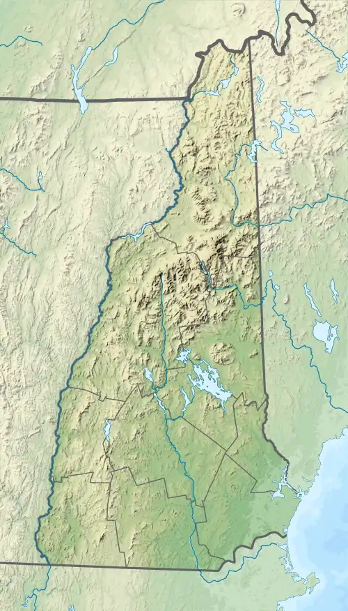 Tuxbury Pond  Tuxbury Pond | |
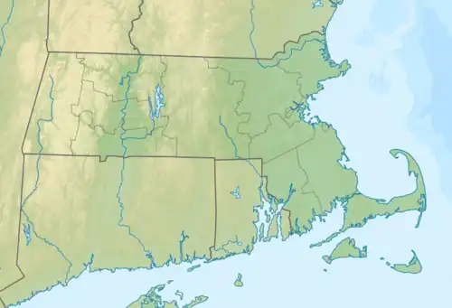
| Location | Rockingham County, New Hampshire; Essex County, Massachusetts |
| Coordinates | 42°51′50″N 70°59′35″W / 42.86389°N 70.99306°W / 42.86389; -70.99306 |
| Type | Reservoir |
| Primary inflows | Powwow River |
| Primary outflows | Powwow River |
| Basin countries | United States |
| Max. length | 2.1 mi (3.4 km) |
| Max. width | 0.5 mi (0.80 km) |
| Surface area | 119 acres (48 ha) |
| Surface elevation | 95 ft (29 m) |
| Islands | 2 |
| Settlements | South Hampton, New Hampshire; Amesbury, Massachusetts |
Tuxbury Pond is a lake which straddles the Massachusetts-New Hampshire border, abutting the towns of Amesbury, Massachusetts and South Hampton, New Hampshire. It is located along the Powwow River. It has two islands in the middle, and a large summer camp resort lies along the Massachusetts shore.
| Lakes |
| ||||||||||||||||||
|---|---|---|---|---|---|---|---|---|---|---|---|---|---|---|---|---|---|---|---|
| Ponds |
| ||||||||||||||||||
This article is issued from Wikipedia. The text is licensed under Creative Commons - Attribution - Sharealike. Additional terms may apply for the media files.