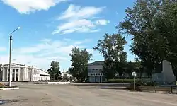
Tyumentsevo
Тюменцево | |
|---|---|
Village | |
 | |
.png.webp) Flag | |
 Tyumentsevo 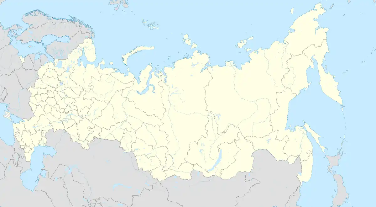 Tyumentsevo | |
| Coordinates: 53°19′N 81°30′E / 53.317°N 81.500°E[1] | |
| Country | Russia |
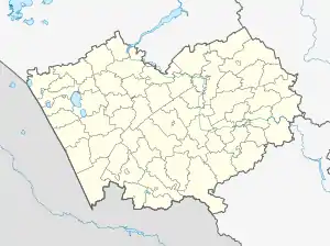
| Region | Altai Krai |
| District | Tyumentsevsky District |
| Time zone | UTC+7:00 |
Tyumentsevo (Russian: Тюменцево) is a rural locality (a selo) and the administrative center of Tyumentsevsky District, Altai Krai, Russia. The population was 5,255 in 2016.[2] There are 45 streets.
Geography
The village is located in the forest-steppe zone of the West Siberian Plain at the confluence of the Cheremshanka and Medvedka Rivers.
References
This article is issued from Wikipedia. The text is licensed under Creative Commons - Attribution - Sharealike. Additional terms may apply for the media files.