Ugchelen | |
|---|---|
Village and neighbourhood | |
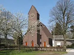 Church at Ugchelen | |
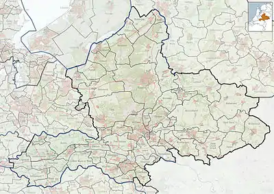  Ugchelen Location in the province of Gelderland  Ugchelen Ugchelen (Netherlands) | |
| Coordinates: 52°11′7″N 5°56′27″E / 52.18528°N 5.94083°E | |
| Country | Netherlands |
| Province | Gelderland |
| Municipality | Apeldoorn |
| Area | |
| • Total | 23.32 km2 (9.00 sq mi) |
| Elevation | 26 m (85 ft) |
| Population (2021)[1] | |
| • Total | 3,860 |
| • Density | 170/km2 (430/sq mi) |
| Time zone | UTC+1 (CET) |
| • Summer (DST) | UTC+2 (CEST) |
| Postal code | 7339[1] |
| Dialing code | 055 |
Ugchelen is part of the municipality of Apeldoorn in the Gelderland province of the Netherlands, and is today seen as a neighbourhood of Apeldoorn.
Ugchelen is located South West of Apeldoorn and has about 7000 inhabitants. Like Apeldoorn, the old village thanked its growth to the paper industry, it had a total of 11 watermills. In 2006 it received a new water mill called The Bouwhof Mill.[3]
The most important hospital in the region, Gelre hospital, is located next to Ugchelen.
Notable people
- Robin Linschoten, politician (VVD) (born 17 April 1956 in Ugchelen)
- Peter Bosz, manager with Olympique Lyonnais and ex-trainer of AGOVV Apeldoorn and ex-professional soccer player with Feyenoord (born 21 November 1963 in Apeldoorn)
- Medy van der Laan, politician (D66) (born 14 August 1968 in Spijkenisse)
- Jan Kromkamp, professional soccer player with PSV (born 17 August 1980 in Makkinga)
- Jaime Bruinier, professional soccer player with AGOVV (born 28 June 1987 in Ugchelen)
Gallery
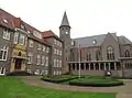 Caesarea chapel
 Altena factory
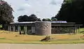 Forest office
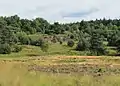 Leesterheide
References
- 1 2 3 "Kerncijfers wijken en buurten 2021". Central Bureau of Statistics. Retrieved 19 March 2022.
Three entries
- ↑ "Postcodetool for 7339AA". Actueel Hoogtebestand Nederland (in Dutch). Het Waterschapshuis. 24 July 2019. Retrieved 19 March 2022.
- ↑ Gert Woutersen (2021-03-13). "Ugchelen, Nieuws en informatie uit Ugchelen en Ugchelense Organisaties en Verenigingen". Ugchelen.org. Retrieved 2022-08-01.
External links
 Media related to Ugchelen at Wikimedia Commons
- Official site (in Dutch)
This article is issued from Wikipedia. The text is licensed under Creative Commons - Attribution - Sharealike. Additional terms may apply for the media files.