Unity, Oregon | |
|---|---|
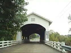 Unity Bridge over Fall Creek | |
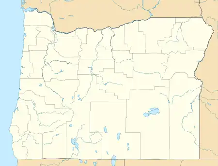  Unity  Unity | |
| Coordinates: 43°56′49″N 122°46′04″W / 43.94694°N 122.76778°W | |
| Country | United States |
| State | Oregon |
| County | Lane |
| Elevation | 768 ft (234 m) |
| Time zone | UTC-8 (PST) |
| • Summer (DST) | UTC-7 (PDT) |
| Area code | 541 |
| Coordinates and elevation from United States Geological Survey[1] | |
Unity is an unincorporated community in Lane County in the U.S. state of Oregon.[1] It lies long Fall Creek just below Fall Creek Reservoir, north of Lowell and southeast of Springfield and Eugene.[2]
Unity Bridge, a covered bridge which carries Lowell–Unity Road (Lowell–Jasper Road), crosses the creek at Unity.[3] Unity Park, a county park also known as Fall Creek Park, is 1.3 miles (2.1 km) beyond the bridge and downstream.[4]
References
- 1 2 "Unity". Geographic Names Information System. United States Geological Survey, United States Department of the Interior. November 22, 1986. Retrieved February 12, 2016.
- ↑ "United States Topographic Map". United States Geological Survey. Retrieved February 12, 2016 – via Acme Mapper.
- ↑ "Fall Creek (Unity) Covered Bridge" (PDF). Oregon Department of Transportation. Retrieved February 12, 2016.
- ↑ "Unity Park". Lane County, Oregon. Retrieved February 12, 2016.
Municipalities and communities of Lane County, Oregon, United States | ||
|---|---|---|
| Cities | 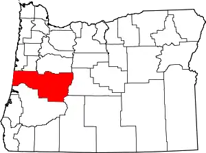 Lane County map | |
| CDPs | ||
| Other communities |
| |
| Ghost towns | ||
| Indian reservation | ||
| Footnotes | ‡This populated place also has portions in an adjacent county or counties | |
This article is issued from Wikipedia. The text is licensed under Creative Commons - Attribution - Sharealike. Additional terms may apply for the media files.