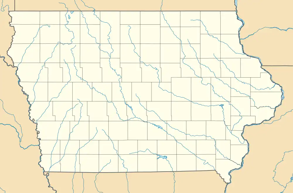
Updegraff, Iowa | |
|---|---|
 Updegraff, Iowa  Updegraff, Iowa | |
| Coordinates: 42°41′02″N 91°14′13″W / 42.6838786°N 91.2370776°W | |
| Country | United States |
| State | Iowa |
| County | Clayton |
| Elevation | 1,135 ft (346 m) |
| Time zone | UTC-6 (Central (CST)) |
| • Summer (DST) | UTC-5 (CDT) |
| Zip codes | 52048 |
| Area code | 563 |
| GNIS feature ID | 462488 |
Updegraff is an unincorporated community in Clayton County, Iowa, United States.[1][2] The county seat of Elkader lies approximately 15 miles to the northwest.
History
Updegraff's population was 27 in 1902.[3]
References
- ↑ "Plat Book of Clayton County, Iowa". Iowa Digital Library. Retrieved October 30, 2017.
- ↑ "Report For Updegraff". USGNIS. Retrieved October 30, 2017.
- ↑ Cram's Modern Atlas: The New Unrivaled New Census Edition. J. R. Gray & Company. 1902. pp. 203–207.
This article is issued from Wikipedia. The text is licensed under Creative Commons - Attribution - Sharealike. Additional terms may apply for the media files.