Velika Horvatska | |
|---|---|
Village | |
 Velika Horvatska | |
| Coordinates: 46°06′N 15°44′E / 46.100°N 15.733°E | |
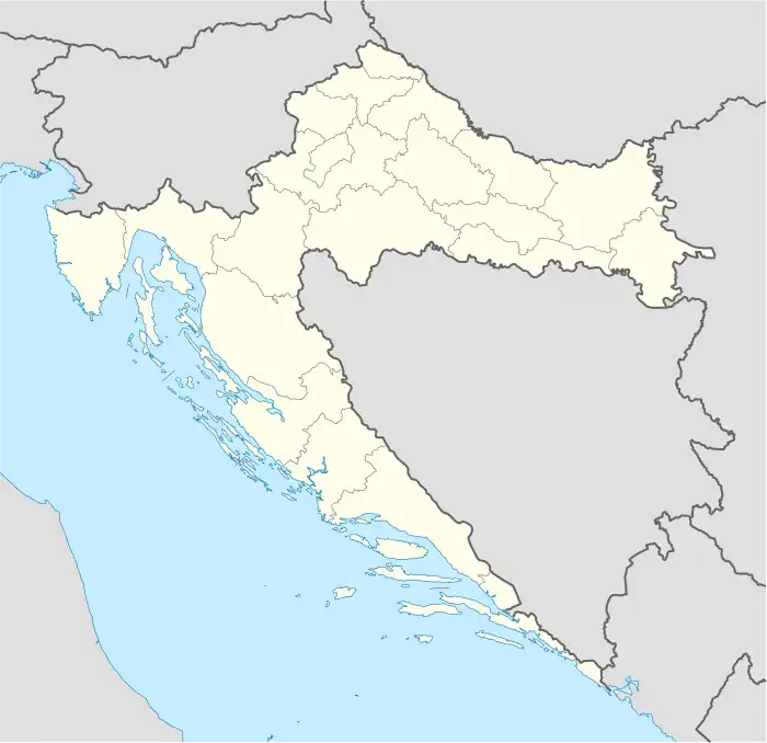
| Country | |
| County | Krapina-Zagorje |
| Municipality | Desinić |
| Area | |
| • Total | 3.5 km2 (1.4 sq mi) |
| Elevation | 175 m (574 ft) |
| Population (2021)[2] | |
| • Total | 234 |
| • Density | 67/km2 (170/sq mi) |
| Time zone | UTC+1 (CET) |
| • Summer (DST) | UTC+2 (CEST) |
| Postal Code | 49216 |
| Area code | 049 |
References
- ↑ Register of spatial units of the State Geodetic Administration of the Republic of Croatia. Wikidata Q119585703.
- ↑ "Population by Age and Sex, by Settlements, 2021 Census". Census of Population, Households and Dwellings in 2021. Zagreb: Croatian Bureau of Statistics. 2022.
This article is issued from Wikipedia. The text is licensed under Creative Commons - Attribution - Sharealike. Additional terms may apply for the media files.