Wüstheuterode | |
|---|---|
 Coat of arms | |
Location of Wüstheuterode | |
 Wüstheuterode 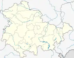 Wüstheuterode | |
| Coordinates: 51°19′14″N 10°3′38″E / 51.32056°N 10.06056°E | |
| Country | Germany |
| State | Thuringia |
| District | Eichsfeld |
| Municipality | Uder |
| Area | |
| • Total | 4.93 km2 (1.90 sq mi) |
| Elevation | 395 m (1,296 ft) |
| Population (2022-12-31) | |
| • Total | 565 |
| • Density | 110/km2 (300/sq mi) |
| Time zone | UTC+01:00 (CET) |
| • Summer (DST) | UTC+02:00 (CEST) |
| Postal codes | 37318 |
| Dialling codes | 036087 |
Wüstheuterode is a village and a former municipality in the district of Eichsfeld in Thuringia, Germany. On 1 January 2024 it became part of the municipality Uder.[1]
References
- ↑ Thüringer Gesetz zur freiwilligen Neugliederung kreisangehöriger Gemeinden im Jahr 2024, Gesetz- und Verordnungsblatt für den Freistaat Thüringen, 2023 Nr. 15, pp. 347-348
This article is issued from Wikipedia. The text is licensed under Creative Commons - Attribution - Sharealike. Additional terms may apply for the media files.