| Wairahi River | |
|---|---|
_(cropped).jpg.webp) Head of the Wairahi River in 1908 | |
Route of the Wairahi River | |
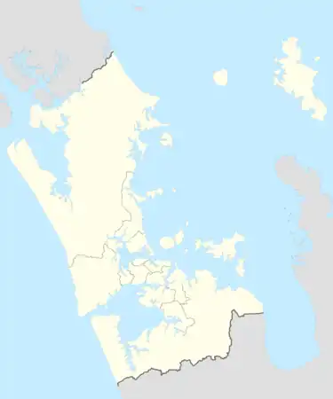 Mouth of the Wairahi River  Wairahi River (New Zealand) | |
| Location | |
| Country | New Zealand |
| Region | Auckland Region |
| Physical characteristics | |
| Source | |
| • coordinates | 36°12′17″S 175°23′38″E / 36.2047°S 175.3939°E |
| Mouth | Wairahi Bay |
• coordinates | 36°12′57″S 175°20′54″E / 36.21584°S 175.34823°E |
| Length | 7 km (4 mi) |
| Basin features | |
| Progression | Wairahi River → Wairahi Bay → Port Fitzroy → Hauraki Gulf → Pacific Ocean |
The Wairahi River is a river of New Zealand's Great Barrier Island. It is the only river (so named) on the island — the island's other watercourses all having names ending is "stream". The Wairahi flows generally west, roughly paralleling the island's long southwestern shore, from its origins north of Whangaparapara Harbour. A walking track from Whangaparapara to Port Fitzroy follows the river for part of its length.
See also
References
"Place name detail: Wairahi River". New Zealand Gazetteer. New Zealand Geographic Board. Retrieved 12 July 2009.
This article is issued from Wikipedia. The text is licensed under Creative Commons - Attribution - Sharealike. Additional terms may apply for the media files.