| Waterman Creek | |
|---|---|
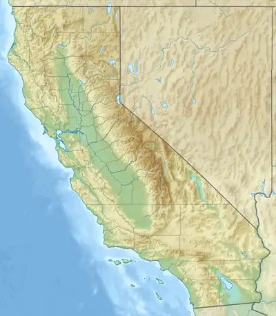 Location of the mouth within California | |
| Location | |
| Country | United States |
| State | California |
| Region | San Mateo County |
| Physical characteristics | |
| Source | Santa Cruz Mountains |
| • location | 7 miles (11 km) west of Saratoga, California |
| • coordinates | 37°14′47″N 122°9′15″W / 37.24639°N 122.15417°W |
| Mouth | Pescadero Creek |
• location | 7 miles (11 km) north of Boulder Creek, California |
• coordinates | 37°12′52″N 122°10′33″W / 37.21444°N 122.17583°W |
• elevation | 643 ft (196 m) |
| [1] | |
Waterman Creek is a 3.0-mile-long (4.8 km)[2] southward-flowing stream in southern San Mateo County, California. Rising near Big Basin Way and the Santa Cruz County line, it empties into Pescadero Creek.[3]
In 2008, a conservation organization awarded $32,000 to the San Mateo County Farm Bureau to fund removal of a 12-foot (3.7 m) high, 100-year-old log dam that was preventing steelhead from accessing potential spawning grounds in the upper reaches of the creek.[4]
References
- ↑ U.S. Geological Survey Geographic Names Information System: Waterman Creek
- ↑ U.S. Geological Survey. National Hydrography Dataset high-resolution flowline data. The National Map, accessed March 15, 2011
- ↑ USGS, 09-20-07
- ↑ "American Rivers and NOAA Award $310,000 to Restore Rivers and Improve Fish Passage". Retrieved 2009-08-14.
See also
This article is issued from Wikipedia. The text is licensed under Creative Commons - Attribution - Sharealike. Additional terms may apply for the media files.