| Wausaukee River | |
|---|---|
  | |
| Location | |
| Country | United States |
| State | Wisconsin |
| Physical characteristics | |
| Source | |
| • location | Town of Athelstane |
| • coordinates | 45°28′38″N 88°11′10″W / 45.4771858°N 88.1862251°W |
| Mouth | Menominee River |
• location | Town of Wausaukee |
• coordinates | 45°21′49″N 87°53′09″W / 45.3635828°N 87.8859447°W |
• elevation | 679 ft (207 m) |
| Basin features | |
| Tributaries | |
| • left | Little Wausaukee Creek, Coldwater Brook |
| • right | Heubler Creek |
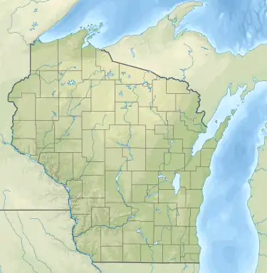
The Wausaukee River is a river that flows through Marinette County, Wisconsin.[1] The source of the river is in the Town of Athelstane.[2] The river then flows through the Town of Athelstane and into the Town of Wausaukee. The Wausaukee River continues through the village of Wausaukee before flowing into the Menominee River.[2]
See also
References
- ↑ "Marinette County DOT Map" (PDF). Wisconsindot. Retrieved 16 March 2021.
- 1 2 "Report for: Wausaukee River". USGNIS. U.S. Department of the Interior. Retrieved 16 March 2021.
This article is issued from Wikipedia. The text is licensed under Creative Commons - Attribution - Sharealike. Additional terms may apply for the media files.