| Waverbridge | |
|---|---|
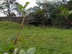 The sandstone bridge over the River Waver at Waverbridge. | |
| OS grid reference | NY223490 |
| Civil parish | |
| District | |
| Shire county | |
| Region | |
| Country | England |
| Sovereign state | United Kingdom |
| Post town | WIGTON |
| Postcode district | CA7 |
| Dialling code | 016973 |
| Police | Cumbria |
| Fire | Cumbria |
| Ambulance | North West |
| UK Parliament | |
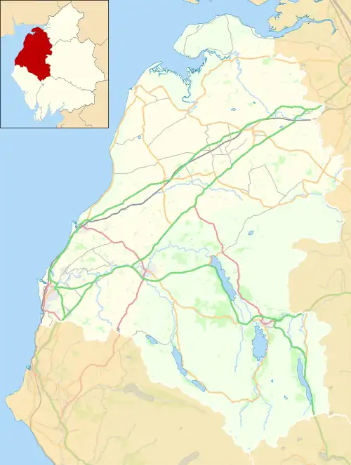
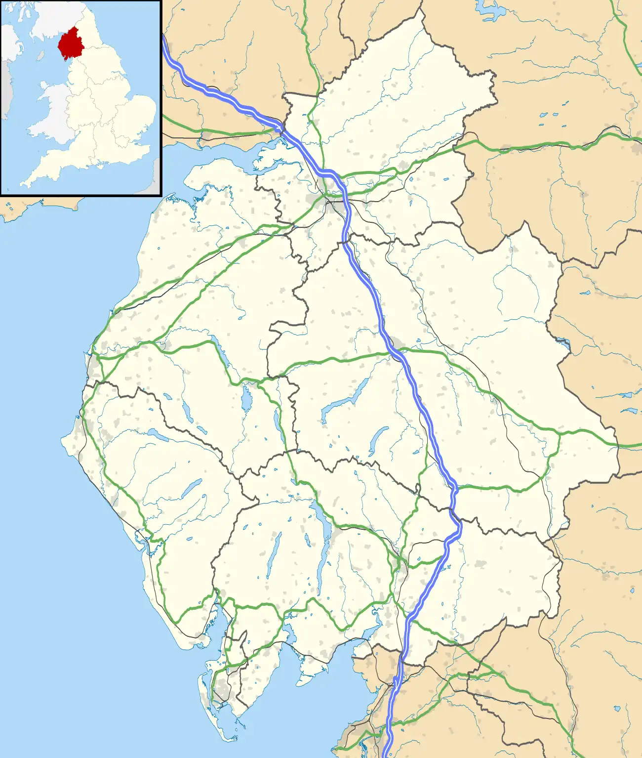
Waverbridge is a hamlet in the civil parish of Dundraw, right on the boundary with the civil parish of Waverton[1] in Cumbria, United Kingdom. It is located approximately two-and-three-quarter miles north-west of Wigton, three-and-three-quarter miles south-east of Abbeytown, and seven-and-a-half miles north-east of Aspatria. Carlisle, Cumbria's county town, is situated fourteen-and-a-quarter miles to the north-east. The B5302 road runs through the settlement, between Silloth-on-Solway in the west and Wigton in the east.[2]
The hamlet is named for its bridge over the River Waver. Historically there was a mill in Waverbridge, as well as a school, both are now used for residential purposes.
References
Wikimedia Commons has media related to Waverbridge.
- ↑ "Cumbria Observatory - Waverbridge (with parish boundaries enabled)". Retrieved 3 March 2015.
- ↑ "Google Maps - Waverbridge". Retrieved 3 March 2015.
This article is issued from Wikipedia. The text is licensed under Creative Commons - Attribution - Sharealike. Additional terms may apply for the media files.