| West Keal | |
|---|---|
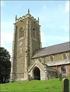 St Helen's Church | |
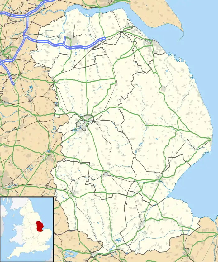  West Keal Location within Lincolnshire | |
| Area | 8.10 km2 (3.13 sq mi) |
| Population | 327 (2011 census) |
| • Density | 40/km2 (100/sq mi) |
| Civil parish |
|
| District | |
| Shire county | |
| Region | |
| Country | England |
| Sovereign state | United Kingdom |
| Website | http://parishes.lincolnshire.gov.uk/WestKeal/index.asp |
West Keal is a village and civil parish 25 miles (40 km) east of Lincoln,[1] in the East Lindsey district, in the county of Lincolnshire, England. The parish includes the hamlet of Keal Cotes. In 2011 the parish had a population of 327.[2] The parish touches Bolingbroke, East Keal, East Kirkby, Mavis Enderby, Raithby and Stickford.[3]
Landmarks
There are 7 listed buildings in West Keal.[4] West Keal has a church called St Helen's Church.[5]
History
The name "Keal" means 'Ridge(s)'.[6] West Keal was recorded in the Domesday Book as Cale/Westrecale.[7]
References
- ↑ "Distance from West Keal [53.150065, 0.043774]". GENUKI. Retrieved 10 December 2020.
- ↑ "West Keal". City Population De. Retrieved 10 December 2020.
- ↑ "West Keal". Ordnance Survey. Retrieved 10 December 2020.
- ↑ "Listed buildings in West Keal, East Lindsey, Lincolnshire". British Listed Buildings. Retrieved 10 December 2020.
- ↑ "St Helen, West Keal". A Church Near You. Retrieved 10 December 2020.
- ↑ "East and West Keal Key to English Place-names". The University of Nottingham. Retrieved 10 December 2020.
- ↑ "Lincolnshire T-Z". The Domesday Book Online. Retrieved 10 December 2020.
External links

Wikimedia Commons has media related to West Keal.
This article is issued from Wikipedia. The text is licensed under Creative Commons - Attribution - Sharealike. Additional terms may apply for the media files.