Wheat | |
|---|---|
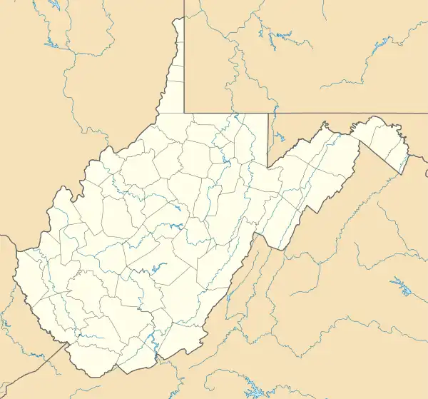 Wheat Location within the state of West Virginia  Wheat Wheat (the United States) | |
| Coordinates: 39°37′35″N 80°35′41″W / 39.62639°N 80.59472°W | |
| Country | United States |
| State | West Virginia |
| County | Wetzel |
| Elevation | 1,040 ft (320 m) |
| Time zone | UTC-5 (Eastern (EST)) |
| • Summer (DST) | UTC-4 (EDT) |
| GNIS ID | 1555963[1] |
Wheat is an unincorporated community in Wetzel County, West Virginia, United States. Its post office[2] opened in 1837, closed in 1950.
The community was named for wheat fields near the original town site.[3]
References
- ↑ U.S. Geological Survey Geographic Names Information System: Wheat, West Virginia
- ↑ U.S. Geological Survey Geographic Names Information System: Wheat WV post office
- ↑ Kenny, Hamill (1945). West Virginia Place Names: Their Origin and Meaning, Including the Nomenclature of the Streams and Mountains. Piedmont, WV: The Place Name Press. p. 672.
Municipalities and communities of Wetzel County, West Virginia, United States | ||
|---|---|---|
| Cities | 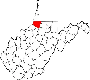 Map of West Virginia highlighting Wetzel County | |
| Towns | ||
| CDPs | ||
| Unincorporated communities |
| |
| Ghost towns | ||
| Footnotes | ‡This populated place also has portions in an adjacent county or counties | |
This article is issued from Wikipedia. The text is licensed under Creative Commons - Attribution - Sharealike. Additional terms may apply for the media files.