| Wilson Creek Range | |
|---|---|
| Highest point | |
| Elevation | 2,250 m (7,380 ft) |
| Geography | |
| Country | United States |
| State | Nevada |
| District | Lincoln County |
| Range coordinates | 38°11′20.855″N 114°20′48.958″W / 38.18912639°N 114.34693278°W |
| Topo map | USGS Parsnip Peak |
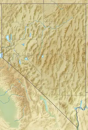
The Wilson Creek Range is a mountain range in Lincoln County, Nevada.[1]
The range has the name of Charles Wilson, a local county commissioner.[2]
References
- 1 2 "Wilson Creek Range". Geographic Names Information System. United States Geological Survey, United States Department of the Interior. Retrieved 2009-05-04.
- ↑ Federal Writers' Project (1941). Origin of Place Names: Nevada (PDF). W.P.A. p. 47.
This article is issued from Wikipedia. The text is licensed under Creative Commons - Attribution - Sharealike. Additional terms may apply for the media files.