Wyodak | |
|---|---|
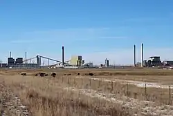 Wyodak, as seen from Wyoming Highway 51, December 2017 | |
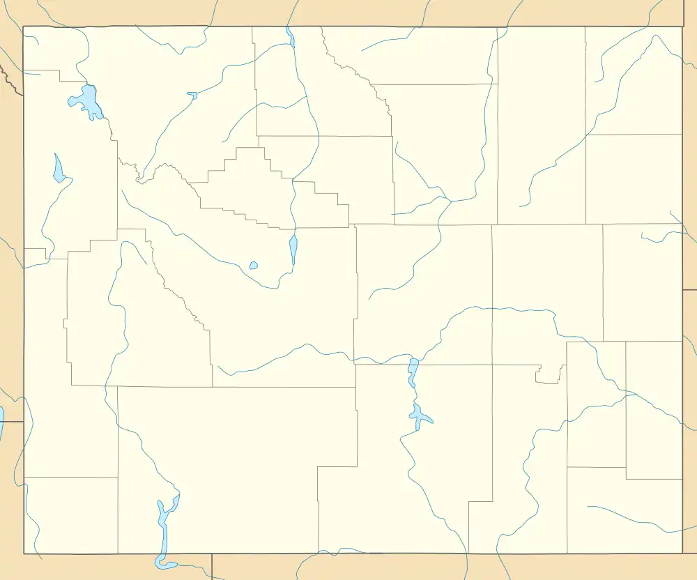 Wyodak Location within the state of Wyoming  Wyodak Wyodak (the United States) | |
| Coordinates: 44°17′29″N 105°22′47″W / 44.29139°N 105.37972°W | |
| Country | United States |
| State | Wyoming |
| County | Campbell |
| Elevation | 4,423 ft (1,348 m) |
| Time zone | UTC-7 (Mountain (MST)) |
| • Summer (DST) | UTC-6 (MDT) |
| ZIP codes | 82718 |
| Area code | 307 |
| GNIS feature ID | 1596649[1] |
Wyodak is an unincorporated community in east-central Campbell County, Wyoming, United States.[1]
History
Wyodak began circa 1925 and existed to house Wyodak Coal Company employees. In the 1960s the company planned to mine the area and the houses were gradually moved.[2]
Transportation
The following highways pass through Wyodak:
References
External links
![]() Media related to Wyodak, Wyoming at Wikimedia Commons
Media related to Wyodak, Wyoming at Wikimedia Commons
Municipalities and communities of Campbell County, Wyoming, United States | ||
|---|---|---|
| City | 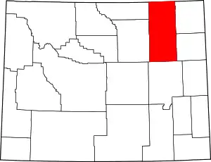 | |
| Town | ||
| CDPs | ||
| Unincorporated communities | ||
This article is issued from Wikipedia. The text is licensed under Creative Commons - Attribution - Sharealike. Additional terms may apply for the media files.