Yamaltu/Deba | |
|---|---|
LGA and town | |
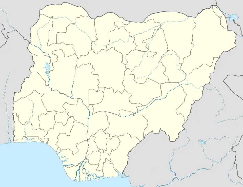 Yamaltu/Deba Location in Nigeria | |
| Coordinates: 10°13′N 11°23′E / 10.217°N 11.383°E | |
| Country | |
| State | Gombe State |
| Area | |
| • Total | 1,981 km2 (765 sq mi) |
| Population (2006 census) | |
| • Total | 255,248 |
| • Ethnicities | Tera Fulani |
| • Religion | Islam |
| Time zone | UTC+1 (WAT) |
| 3-digit postal code prefix | 761 |
| ISO 3166 code | NG.GO.YD |
Yamaltu/Deba is a Local Government Area of Gombe State, Nigeria. Its headquarters is in the town of Deba (or Deba Habe), at the southeastern part of the state capital, Gombe.[1]
It is inhabited by mainly Tera and Fulani people. [2]
The postal code of the area is 761.[3]
History
Deba's history began in 1375 AD with the appointment of the first Kuji Sovereign Chief. Pre-Mishelku, Mishelku, Fulani Jihad, Colonial, and Post-Independence periods make up Deba's history. The Local Government was already in place before Gombe State was established, but it later became a Local Government inside Gombe State.[4]
The headquarters of the LGA are in the town of Deba and the LGA is bordered by parts of Borno and Yobe states.[5]
Yamaltu /Deba. has Population of 255,248.[6] according to 2006 census.
Geography
Yamaltu/Deba LGA has a total area of 1,981 square kilometers with an average temperature of 31 degrees Celsius. The LGA is home to a portion of the well-known Lake Dadin Kowa, as well as the Kilang Hills and Bima Rock.[7]
Economy
The Yamaltu/Deba LGA is home to a number of markets, including the Kwodom market, where a wide range of goods are bought and sold. Residents of Yamaltu/Deba LGA also make farming a significant part of their lives by growing crops like rice, brown beans, millet, onions, and sorghum there. In the Yamaltu/Deba LGA, additional businesses include fishing, leatherworking, farming, and crafting.[7][8]
Wards
List of wards in Yamaltu/Deba.[9][10]
- Deba
- Difa / Lubo / Kinafa
- Gwani / Shinga / Wade
- Hinna
- Jagali North
- Jagali South
- Kanawa / Wajari
- Kuri /lano / Lambam
- Kwadon / Liji / Kurba
- Nono / Kunwal / W. Birdeka
Healthcare
- Dasa Health Clinic
- Jagali Health Clinic
- Jauro Gotel Health Clinic
- Jauro Musa Kadi Health Post
- Maikaho Primary Health Centre
- Tsandon Dan Dela Health Post
Localities
Area, Towns and Villages in Yelmatu/Deba.[11][12]
Deba
- Baltongo
- Baure
- Boltongoyel
- Dangar
- Dumbu
- Jannawo
- Kakkau
- Kanawa
Kunnuwal
- Kuri
- Lambam
- Lano
- Nasarawo
- Nono
- Nono M. Isa
- Poli
- Saruje
- W. Birdeka
- Wajari Jodoma
- Wudil
- Yelwa Kuri
- Zagaina
- Zamfarawa
Jara Area
Dahirma
DasaNahuta
Garin Nabawa
Jagali
Jarawa
Jauro Gotel
Jigawa
Kadi
Kurjale
Maikaho
Pata
Tashar Kuka
Tsandom Dele
Tudun Wada
Yelmatul Area
- Beguwa
- Datum
- Difa
- Gadawo
- Garin Kudi
- Gwani
- Hinna
- Kalo
- Kulau
- Kunji Kwadon
- Kurba
- Kwadon
- Kwali
- Laleko
- Liji
- Lubo
- Ruwa Biri
- Ruwan Biri
- Sabon Gari bk
- Shinga
- Shuwari
- Tsando
- Wade
- Zambuk
Schools in Deba include
Asas Primary school of JIBWIS.[13]
Model Primary School, Deba.[14]
Government Day Junior Secondary School Deba Central.[15]
Government Comprehensive Secondary School.[16]
GSTC Deba.[17]
Amtas Community Secondary School.[18]
Climate
Dadin Kowa, the headquarter of Yamaltu emirate, which is 0 feet 0 meters above sea level, has a tropical wet and dry or savanna climate . The district averages a yearly temperature of 31.55 oC 88.79 oF, which is 2.09% higher than the national average for Nigeria. 69.05 millimeters 2.72 inches of precipitation and 99.44 rainy days 27.24 percent of the time are typical yearly totals for Dadin Kowa.[19]
Country Nigeria
State Gombe
LGA Yamaltu/Deba
Location: 11.1786358
Longitude: 11.1107517
Latitude: 11.1106358
Attitude/Elevation: 0 feet
References
- ↑ Daniels, Ajiri (8 May 2023). "We're in support of Goje, others expulsion - Gombe State APC executives". The Sun Nigeria. Retrieved 25 May 2023.
- ↑ Nigeria, Media (27 April 2022). "History Of Yamaltu/Deba LGA, Gombe State". Media Nigeria. Retrieved 15 August 2023.
- ↑ "Post Offices- with map of LGA". NIPOST. Retrieved 20 October 2009.
- ↑ https://wap.org.ng/read/history-of-deba/
- ↑ "Yalmaltu / Deba Local Government Area". www.manpower.com.ng. Retrieved 16 August 2023.
- ↑ places (1 January 1970). "Towns & Villages in Yamaltu/Deba « Gombe State « Nigeria". Towns & Villages. Retrieved 16 August 2023.
- 1 2 "Yalmaltu / Deba Local Government Area". www.manpower.com.ng. Retrieved 15 August 2023.
- ↑ "Deba Habe | Niger Delta, Oil Industry & Rivers | Britannica". www.britannica.com. Retrieved 16 August 2023.
- ↑ "YALMALTU DEBA ward New and exsiting polling unit - eduweb". 4 February 2023. Retrieved 15 August 2023.
- ↑ Nigeria, Media (24 April 2018). "Yamaltu/Deba L.G.A Polling Units/Wards". Media Nigeria. Retrieved 15 August 2023.
- ↑ Nigeria, Media (19 April 2018). "List Of Towns And Villages In Yamaltu/Deba L.G.A, Gombe State". Media Nigeria. Retrieved 15 August 2023.
- ↑ "List of Towns and Villages in Yamaltu/Delta LGA". Nigeria Zip Codes. 11 March 2014. Retrieved 15 August 2023.
- ↑ "ASAS PRIMARY SCHOOL OF JIBWIS Deba Habe - Google Search". www.google.com. Retrieved 25 December 2022.
- ↑ "Model Primary School, Deba Deba Habe - Google Search". www.google.com. Retrieved 25 December 2022.
- ↑ "GDJSS Deba Central Deba Habe - Google Search". www.google.com. Retrieved 25 December 2022.
- ↑ "Government Comprehensive Secondary school Deba Habe - Google Search". www.google.com. Retrieved 25 December 2022.
- ↑ "GSTC Deba Deba Habe - Google Search". www.google.com. Retrieved 25 December 2022.
- ↑ "Amtas community secondary school Deba Habe - Google Search". www.google.com. Retrieved 25 December 2022.
- ↑ "Dadin Kowa, Gombe, NG Climate Zone, Monthly Averages, Historical Weather Data". tcktcktck.org. Retrieved 8 July 2023.
State capital: Gombe | ||
| Local Government Areas | 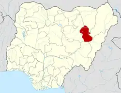 | |