Yeşilyurt District | |
|---|---|
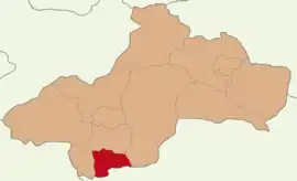 Map showing Yeşilyurt District in Tokat Province | |
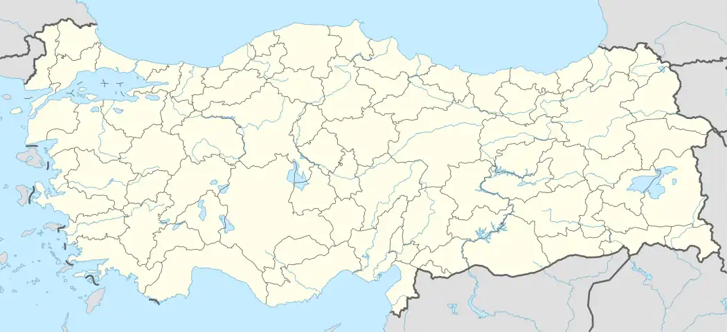  Yeşilyurt District Location in Turkey | |
| Coordinates: 40°00′N 36°13′E / 40.000°N 36.217°E | |
| Country | Turkey |
| Province | Tokat |
| Seat | Yeşilyurt |
| Government | |
| • Kaymakam | Murathan Cebeci |
| Area | 280 km2 (110 sq mi) |
| Population (2022) | 8,336 |
| • Density | 30/km2 (77/sq mi) |
| Time zone | TRT (UTC+3) |
| Website | www |
Yeşilyurt District is a district of the Tokat Province of Turkey. Its seat is the town of Yeşilyurt.[1] Its area is 280 km2,[2] and its population is 8,336 (2022).[3]
Composition
There is one municipality in Yeşilyurt District:[1]
There are 15 villages in Yeşilyurt District:[4]
- Bahçebaşı
- Büğet
- Çerkez Danişment
- Damlalı
- Doğlacık
- Ekinli
- Gündoğan
- Karacaören
- Karagözgöllüalan
- Karaoluk
- Kavunluk
- Sekücek
- Sivri
- Yağmur
- Yeniköy
References
- 1 2 İlçe Belediyesi, Turkey Civil Administration Departments Inventory. Retrieved 22 May 2023.
- ↑ "İl ve İlçe Yüz ölçümleri". General Directorate of Mapping. Retrieved 22 May 2023.
- ↑ "Address-based population registration system (ADNKS) results dated 31 December 2022, Favorite Reports" (XLS). TÜİK. Retrieved 22 May 2023.
- ↑ Köy, Turkey Civil Administration Departments Inventory. Retrieved 22 May 2023.
Yeşilyurt District, Tokat in Tokat Province of Turkey | |||||||||||||||||||||||||||
|---|---|---|---|---|---|---|---|---|---|---|---|---|---|---|---|---|---|---|---|---|---|---|---|---|---|---|---|
| Districts |  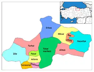 Districts of Tokat | ||||||||||||||||||||||||||
| |||||||||||||||||||||||||||
Metropolitan municipalities are bolded. | |||||||||||||||||||||||||||
This article is issued from Wikipedia. The text is licensed under Creative Commons - Attribution - Sharealike. Additional terms may apply for the media files.