Étrez | |
|---|---|
Part of Bresse Vallons | |
 | |
Location of Étrez | |
 Étrez  Étrez | |
| Coordinates: 46°20′06″N 5°11′08″E / 46.3350°N 5.1856°E | |
| Country | France |
| Region | Auvergne-Rhône-Alpes |
| Department | Ain |
| Arrondissement | Bourg-en-Bresse |
| Canton | Attignat |
| Commune | Bresse Vallons |
| Area 1 | 12.15 km2 (4.69 sq mi) |
| Population (2019)[1] | 824 |
| • Density | 68/km2 (180/sq mi) |
| Time zone | UTC+01:00 (CET) |
| • Summer (DST) | UTC+02:00 (CEST) |
| Postal code | 01100 |
| Elevation | 197–229 m (646–751 ft) |
| 1 French Land Register data, which excludes lakes, ponds, glaciers > 1 km2 (0.386 sq mi or 247 acres) and river estuaries. | |
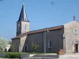
Étrez (French pronunciation: [etʁe] ⓘ) is a former commune in the Ain department in eastern France. On 1 January 2019, it was merged into the new commune of Bresse Vallons.[2]
Population
|
|
See also
References
Wikimedia Commons has media related to Étrez.
This article is issued from Wikipedia. The text is licensed under Creative Commons - Attribution - Sharealike. Additional terms may apply for the media files.