 Île Marc 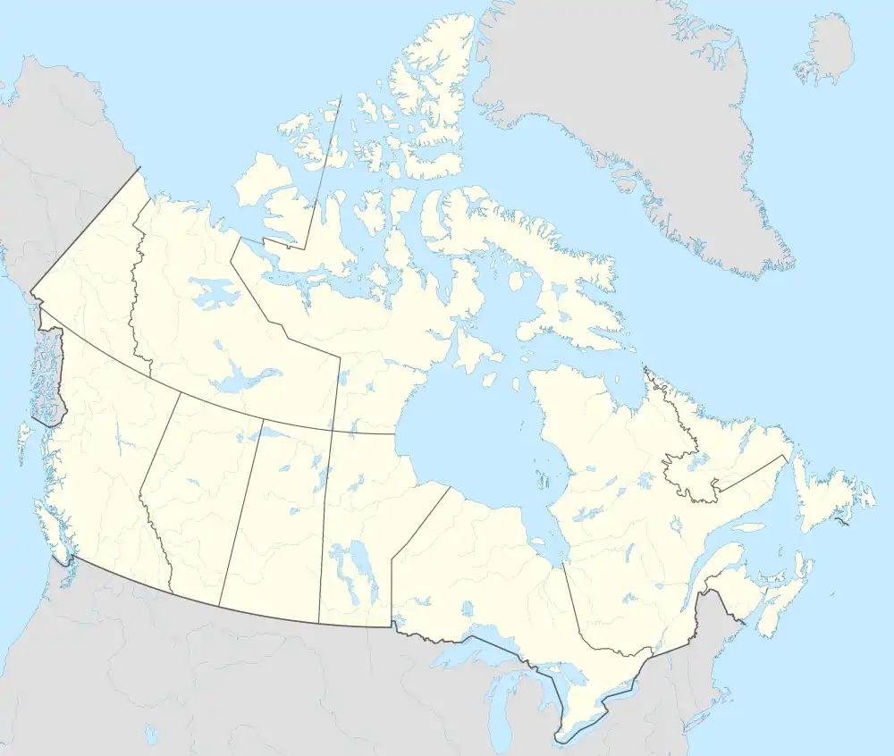 Île Marc | |
| Geography | |
|---|---|
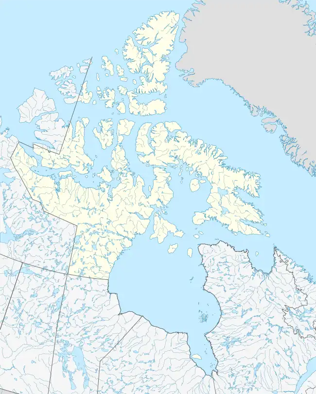
| Location | Northern Canada |
| Coordinates | 75°51′N 103°35′W / 75.850°N 103.583°W / 75.850; -103.583 (Île Marc) |
| Archipelago | Queen Elizabeth Islands Arctic Archipelago |
| Area | 56 km2 (22 sq mi) |
| Administration | |
Canada | |
| Territory | Nunavut |
| Demographics | |
| Population | Uninhabited |
Île Marc is one of the Canadian arctic islands in Nunavut, Canada. It lies in the Boyer Strait, south of Massey Island, and north-west of Alexander Island.
"Ile Marc" is named to honour Marc Boyer who served as deputy-minister of the federal department of Mines & Technical Surveys from 1950 until his premature death in 1962.
External links
- Île Marc in the Atlas of Canada - Toporama; Natural Resources Canada
Islands of the Qikiqtaaluk Region | |||||||||
|---|---|---|---|---|---|---|---|---|---|
| |||||||||
| Belcher Islands | |||||||||
| Islands of Cumberland Sound |
| ||||||||
| Islands of Davis Strait | |||||||||
| Islands of Foxe Basin | |||||||||
| Islands of Frobisher Bay |
| ||||||||
| Islands of the Gulf of Boothia | |||||||||
| Islands of Hudson Bay | |||||||||
| Islands of Hudson Strait |
| ||||||||
| Islands of James Bay | |||||||||
| Islands of the Labrador Sea | |||||||||
| Queen Elizabeth Islands |
| ||||||||
See also Islands of the Kitikmeot Region, Islands of the Kivalliq Region. | |||||||||
This article is issued from Wikipedia. The text is licensed under Creative Commons - Attribution - Sharealike. Additional terms may apply for the media files.