 Goodwin Island  Goodwin Island | |
| Geography | |
|---|---|
| Location | Confluence of Hudson Strait and the Labrador Sea |
| Coordinates | 60°40′59″N 064°30′00″W / 60.68306°N 64.50000°W |
| Archipelago | Arctic Archipelago |
| Area | 2 km2 (0.77 sq mi) |
| Coastline | 7 km (4.3 mi) |
| Highest point | 178 m (584 ft) |
| Administration | |
Canada | |
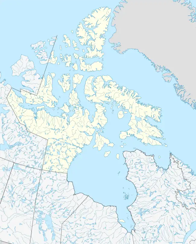
| Nunavut | Nunavut |
| Region | Qikiqtaaluk |
| Demographics | |
| Population | Uninhabited |
| Source: Goodwin Island at Atlas of Canada | |
Goodwin Island is one of the many uninhabited Canadian arctic islands in Qikiqtaaluk Region, Nunavut. It is located at the confluence of Hudson Strait and the Labrador Sea.
The island, a member of the Button Islands, is situated west-northwest of Lacy Island. It has a peak of 178 m (584 ft).[1]
Other islands in the immediate vicinity include Erhardt Island, King Island, Lawson Island, MacColl Island, and Observation Island.[2]
References
- ↑ "Sector13.HudsonStrait" (PDF). National Geospatial Intelligence Agency. pollux.nss.nima.mil. p. 7. Archived from the original (PDF) on October 24, 2004. Retrieved 2009-02-17.
- ↑ "Goodwin Island". travelingluck.com. Retrieved 2009-07-19.
This article is issued from Wikipedia. The text is licensed under Creative Commons - Attribution - Sharealike. Additional terms may apply for the media files.