| Acthorpe | |
|---|---|
 Acthorpe Wood | |
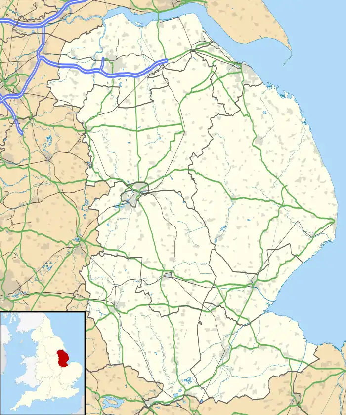 Acthorpe Location within Lincolnshire | |
| OS grid reference | TF309893 |
| • London | 135 mi (217 km) S |
| Civil parish | |
| District | |
| Shire county | |
| Region | |
| Country | England |
| Sovereign state | United Kingdom |
| Post town | Louth |
| Postcode district | LN11 |
| Police | Lincolnshire |
| Fire | Lincolnshire |
| Ambulance | East Midlands |
| UK Parliament | |
Acthorpe is a hamlet in the East Lindsey district of Lincolnshire, England. It is situated approximately 2 miles (3 km) north-west from the town of Louth, and in the Lincolnshire Wolds, a designated Area of Outstanding Natural Beauty.[1] Acthorpe is part of the civil parish of Elkington.
Acthorpe does not appear in the Domesday Book and is considered a deserted medieval village.[2]
Acthorpe Farm House is a Grade II listed building of red brick, dating from 1740, with 19th- and 20th-century alterations.[3]
Acthorpe Wood is an area of semi-natural ancient woodland.[4]
References
- ↑ "South Elkington", Genuki.co.uk. Retrieved 9 April 2013
- ↑ "Acthorpe DMV". Lincs to the Past. Lincolnshire Archives. Retrieved 29 June 2011.
- ↑ Historic England. "Acthorpe Farn House (1063146)". National Heritage List for England. Retrieved 29 June 2011.
- ↑ "Acthorpe Wood". Lincs to the Past. Lincolnshire Archives. Retrieved 29 June 2011.
External links
This article is issued from Wikipedia. The text is licensed under Creative Commons - Attribution - Sharealike. Additional terms may apply for the media files.