Baraula
बरौला | |
|---|---|
Village Development Committee | |
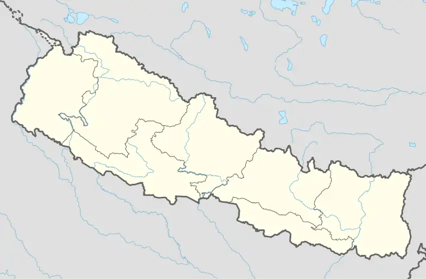 Baraula Location in Nepal | |
| Coordinates: 27°59′N 82°56′E / 27.98°N 82.94°E | |
| Country | |
| Region | Mid-Western |
| Zone | Rapti Zone |
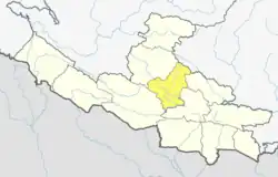
| District | Pyuthan District |
| VDC | Baraula |
| Population (2001 Census[1]) | |
| • Total | 3,380 |
| 599 households | |
| Time zone | UTC+5:45 (Nepal Time) |
Baraula is a town and Village Development Committee in Pyuthan, a Middle Hills district of Rapti Zone, western Nepal.
Villages in VDC
| Ward | Lat. | Lon | Elev. | ||
|---|---|---|---|---|---|
| Baraula | बरौला | 28°00'N | 82°57'E | 782m | |
| Baraulkot | बरौलाकोट | 28°00'N | 82°56'E | 1,163 | |
| Chidi Damar | चिडी दमार | 27°57'N | 82°54'E | 410 | |
| Chaukaha | चौकाहा | 28°00'N | 82°57'E | 610 | |
| Harbung | हरबुङ | 27°59'N | 82°56'E | 1,230 | |
| Hariyagaun | हरियागाउँ | 28°01'N | 82°56'E | 630 | |
| Hariyatari | हरियाटारी | 28°01'N | 82°56'E | 658 | |
| Jadi | जाडी | 28°00'N | 82°56'E | 819 | |
| Kadkura | कडकुरा | 27°59'N | 82°57'E | 610 | |
| Kattike | कात्तिके | 27°57'N | 82°56'E | 858 | |
| Khal Kamere | खाल कमेरे | 27°57'N | 82°55'E | 550 | |
| Khasbas | खसबास | 28°00'N | 82°56'E | 770 | |
| Kumal Takura | कुमाल टाकुरा | 27°58'N | 82°55'E | 850 | |
| Lami Damar | लामी दमार | 3 | 27°57'N | 82°56'E | 490 |
| Lede | लेडे | 27°57'N | 82°55'E | 570 | |
| Lungchung | लुङचुङ | 27°59'N | 82°58'E | 1,170 | |
| Malbang | मलबाङ | 28°00'N | 82°57'E | 650 | |
| Masina | मसिना | 3 | 27°57'N | 82°56'E | 730 |
| Nepane | नेपाने | 27°59'N | 82°56'E | 1,490 | |
| Ranibans | रानीबास | 27°58'N | 82°56'E | 1,350 | |
| Salendhara | सलेनधारा | 27°58'N | 82°57'E | 1,390 | |
| Sikhre | सिख्रे | 27°57'N | 82°55'E | 650 | |
| Sisne | सिस्ने | 27°59'N | 82°57'E | 1,030 | |
| Thulilek | ठूलीलेक | 27°58'N | 82°57'E | 1,610 | |
| Upallagaun | उपल्लागाउँ | 28°01'N | 82°56'E | 635 | |
| Wabang | वाबाङ | 27°59'N | 82°57'E | 950 | |
| Wabas | वाबास | 27°57'N | 82°56'E | 1,190 | |
| Wakhari | वखारी | 2 | 27°59'N | 82°56'E | 952 |
References
- ↑ "Nepal Census 2001". Nepal's Village Development Committees. Digital Himalaya. Archived from the original on 12 October 2008. Retrieved 21 September 2008.
- ↑ "Index of Geographical Names of Nepal, Volume IV: Mid Western Development Region, List of Settlements, Pyuthan" (PDF). Government of Nepal, National Geographic Information Infrastructure Program. Archived from the original (PDF) on July 24, 2011. Retrieved 2011-03-12.
External links
This article is issued from Wikipedia. The text is licensed under Creative Commons - Attribution - Sharealike. Additional terms may apply for the media files.