Gothibang
गोठीबाङ | |
|---|---|
Village Development Committee | |
 Gothibang Location in Nepal | |
| Coordinates: 28°06′N 82°44′E / 28.10°N 82.73°E | |
| Country | |
| Region | Mid-Western |
| Zone | Rapti Zone |
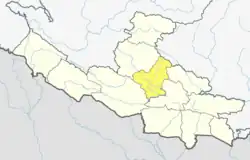
| District | Pyuthan District |
| VDC | Gothibang |
| Population (2001 Census[1]) | |
| • Total | 4,190 |
| 798 households | |
| Time zone | UTC+5:45 (Nepal Time) |
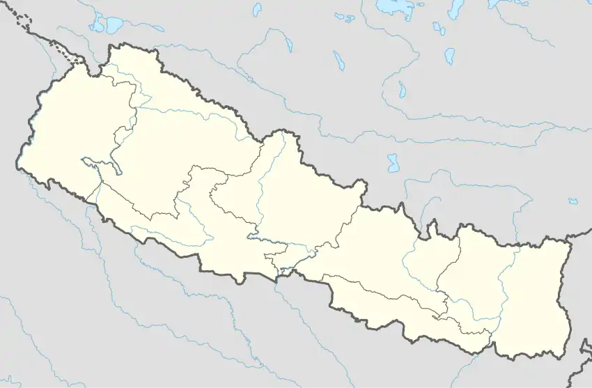
Gothibang is a town and Village Development Committee in Pyuthan, a Middle Hills district of Rapti Zone, western Nepal.
Etymology
In Khamkura Gothi is a small, primitive mine. Bang means a field or pasture, high enough for the climate to be temperate, subalpine or even alpine.
Villages in VDC
| Ward | Lat. | Lon | Elev. | ||
|---|---|---|---|---|---|
| Bajipur | बाजिपुर | 6 | 28°08'N | 82°44'E | 715m |
| Chhedpakha | छेडपाखा | 28°06'N | 82°45'E | 1,136 | |
| Danda Kateri | डाँडा कटेरी | 28°06'N | 82°43'E | 1,190 | |
| Dandagaun | डाँडागाउँ | 8 | 28°06'N | 82°42'E | 1,610 |
| Dandathar | डाँडाथर | 28°06'N | 82°43'E | 1,040 | |
| Dhapkholagaun | धापखोलागाउँ | 28°05'N | 82°43'E | 1,490 | |
| Dharampa | धरमपा | 28°05'N | 82°43'E | 1,730 | |
| Dibang | दिबाङ | 28°06'N | 82°46'E | 730 | |
| Gadhi | गढी | 3 | 28°06'N | 82°45'E | 1,150 |
| Ghorkhandi | घोरखण्डी | 28°07'N | 82°42'E | 1,710 | |
| Gothibang | गोठीबाङ | 28°07'N | 82°44'E | 707 | |
| Judapata | जुडापाटा | 2 | 28°07'N | 82°45'E | 630 |
| Jugena | जुगेना | 28°07'N | 82°41'E | 1,610 | |
| Laphe | लफे | 7 | 28°07'N | 82°43'E | 1,350 |
| Maurikholagaun | मौरीखोलागाउँ | 28°06'N | 82°42'E | 1,230 | |
| Namrikot | नम्रीकोट | 28°06'N | 82°45'E | 1,010 | |
| Patihalna | पातिहाल्ना | 28°06'N | 82°44'E | 790 | |
| Punyadip | पुण्यदिप | 28°05'N | 82°44'E | 1,310 | |
| Sikhre | सिख्रे | 28°07'N | 82°43'E | 952 | |
| Simle | सिम्ले | 28°07'N | 82°43'E | 1,450 |
References
- ↑ "Nepal Census 2001". Nepal's Village Development Committees. Digital Himalaya. Archived from the original on 12 October 2008. Retrieved 21 September 2008.
- ↑ "Index of Geographical Names of Nepal, Volume IV: Mid Western Development Region, List of Settlements, Pyuthan" (PDF). Government of Nepal, National Geographic Information Infrastructure Program. Archived from the original (PDF) on 2011-07-24. Retrieved 2011-03-12.
External links
This article is issued from Wikipedia. The text is licensed under Creative Commons - Attribution - Sharealike. Additional terms may apply for the media files.