Basen
Բասեն | |
|---|---|
 Basen 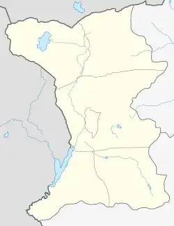 Basen | |
| Coordinates: 40°45′55″N 43°59′27″E / 40.76528°N 43.99083°E | |
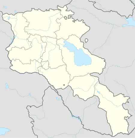
| Country | Armenia |
| Province | Shirak |
| Municipality | Akhuryan |
| Area | |
| • Total | 1.3 km2 (0.5 sq mi) |
| Elevation | 1,645 m (5,397 ft) |
| Population (2010) | |
| • Total | 1,913 |
| • Density | 1,500/km2 (3,800/sq mi) |
| Time zone | UTC+4 (GMT +4) |
| • Summer (DST) | UTC+5 (GMT+5) |
| Basen, Armenia at GEOnet Names Server | |
Basen (Armenian: Բասեն) is a village in the Akhuryan Municipality of the Shirak Province of Armenia. The Statistical Committee of Armenia reported its population was 1,913 in 2010,[1] up from 1,744 at the 2001 census.[2]
Etymology
The village was known as Mets Kyapanak until 1935.[3]
Demographics
| Year | Pop. | ±% p.a. |
|---|---|---|
| 1831 | 512 | — |
| 1897 | 1,892 | +2.00% |
| 1926 | 1,394 | −1.05% |
| 1939 | 1,667 | +1.39% |
| 1959 | 1,439 | −0.73% |
| 1970 | 1,606 | +1.00% |
| 1979 | 1,420 | −1.36% |
| 1989 | 1,393 | −0.19% |
| 2001 | 1,744 | +1.89% |
| 2004 | 1,693 | −0.98% |
| Source: [4] | ||
References
- ↑ "Marzes of Armenia and Yerevan City in Figures, 2010" (PDF). Statistical Committee of Armenia.
- ↑ Report of the results of the 2001 Armenian Census, Statistical Committee of Armenia
- ↑ Kiesling, Brady (June 2000). Rediscovering Armenia: An Archaeological/Touristic Gazetteer and Map Set for the Historical Monuments of Armenia (PDF). Archived (PDF) from the original on 6 November 2021.
- ↑ Հայաստանի Հանրապետության բնակավայրերի բառարան [Republic of Armenia settlements dictionary] (PDF) (in Armenian). Yerevan: Cadastre Committee of the Republic of Armenia. 2008. Archived from the original (PDF) on 11 March 2018.
- Kiesling, Brady (2005), Rediscovering Armenia: Guide, Yerevan, Armenia: Matit Graphic Design Studio
Capital: Gyumri | ||
| Urban settlements | 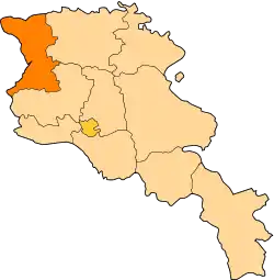 | |
| Akhuryan Municipality | ||
| Amasia Municipality | ||
| Ani Municipality | ||
| Artik Municipality | ||
| Ashotsk Municipality | ||
This article is issued from Wikipedia. The text is licensed under Creative Commons - Attribution - Sharealike. Additional terms may apply for the media files.