40°32′37″N 43°49′40″E / 40.54361°N 43.82778°E
Karaberd
Քարաբերդ | |
|---|---|
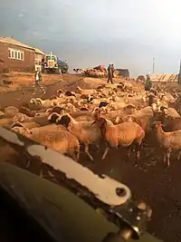 Bringing sheep back to the village | |
 Karaberd 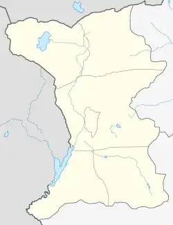 Karaberd | |
| Coordinates: 40°32′37″N 43°49′40″E / 40.54361°N 43.82778°E | |
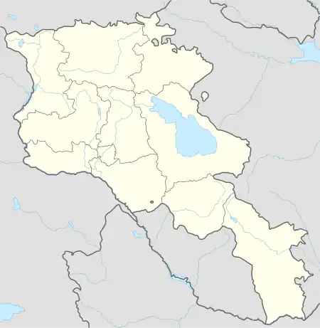
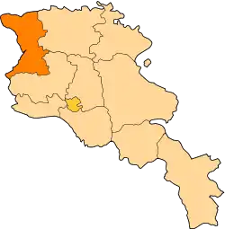
| Country | Armenia |
| Province | Shirak |
| Municipality | Ani |
| Population (2001) | |
| • Total | 1,090 |
| Time zone | UTC+4 |
| • Summer (DST) | UTC+5 |
Karaberd (Armenian: Քարաբերդ) is a village in the Ani Municipality of the Shirak Province of Armenia.
Demographics
| Year | Pop. | ±% p.a. |
|---|---|---|
| 1831 | 87 | — |
| 1897 | 606 | +2.98% |
| 1926 | 769 | +0.82% |
| 1939 | 743 | −0.26% |
| 1959 | 475 | −2.21% |
| 1970 | 115 | −12.10% |
| 2001 | 107 | −0.23% |
| 2004 | 94 | −4.23% |
| Source: [1] | ||
References
- ↑ Հայաստանի Հանրապետության բնակավայրերի բառարան [Republic of Armenia settlements dictionary] (PDF) (in Armenian). Yerevan: Cadastre Committee of the Republic of Armenia. 2008. Archived from the original (PDF) on 11 March 2018.
This article is issued from Wikipedia. The text is licensed under Creative Commons - Attribution - Sharealike. Additional terms may apply for the media files.