Chanda Tikar
Chānda Tikar | |
|---|---|
Village | |
 Map showing Chanda Tikar (#879) in Lalganj CD block | |
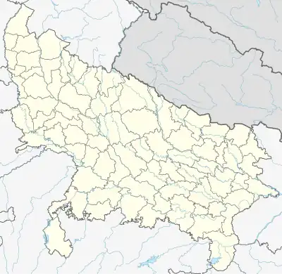 Chanda Tikar Location in Uttar Pradesh, India | |
| Coordinates: 26°07′13″N 81°00′41″E / 26.120391°N 81.011316°E[1] | |
| Country India | |
| State | Uttar Pradesh |
| District | Raebareli |
| Area | |
| • Total | 3.009 km2 (1.162 sq mi) |
| Population (2011)[2] | |
| • Total | 2,156 |
| • Density | 720/km2 (1,900/sq mi) |
| Languages | |
| • Official | Hindi |
| Time zone | UTC+5:30 (IST) |
| Vehicle registration | UP-35 |
Chanda Tikar is a village in Lalganj block of Rae Bareli district, Uttar Pradesh, India.[2] As of 2011, it has a population of 2,156 people, in 377 households.[2] It has one primary school and no healthcare facilities.[2]
The 1961 census recorded Chanda Tikar as comprising 8 hamlets, with a total population of 991 people (501 male and 490 female), in 178 households and 144 physical houses.[3] The area of the village was given as 709 acres.[3]
The 1981 census recorded Chanda Tikar as having a population of 1,447 people, in 250 households, and having an area of 300.68 hectares.[4] The main staple foods were listed as wheat and rice.[4]
References
- ↑ "Geographic Names Search WebApp". Do a radial search using these coordinates here.
- 1 2 3 4 5 "Census of India 2011: Uttar Pradesh District Census Handbook - Rae Bareli, Part A (Village and Town Directory)" (PDF). Census 2011 India. pp. 288–306. Retrieved 18 August 2021.
- 1 2 Census 1961: District Census Handbook, Uttar Pradesh (39 - Raebareli District) (PDF). Lucknow. 1965. pp. lxxviii-lxxix of section "Dalmau Tahsil". Retrieved 18 August 2021.
{{cite book}}: CS1 maint: location missing publisher (link) - 1 2 Census 1981 Uttar Pradesh: District Census Handbook Part XIII-A: Village & Town Directory, District Rae Bareli (PDF). 1982. pp. 156–7. Retrieved 18 August 2021.
This article is issued from Wikipedia. The text is licensed under Creative Commons - Attribution - Sharealike. Additional terms may apply for the media files.