Oupeye
| |
|---|---|
 | |
 Flag  Coat of arms | |
Location of Oupeye | |
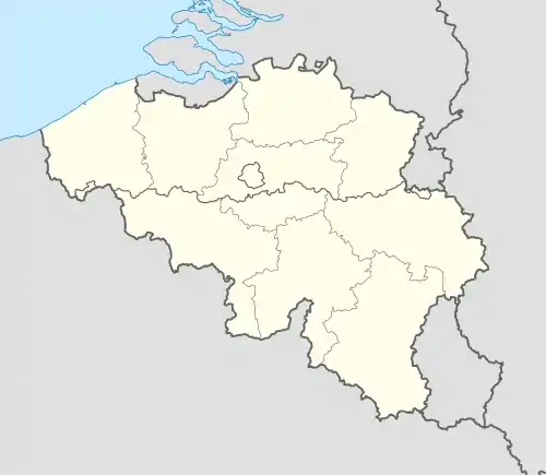 Oupeye Location in Belgium
Location of Oupeye in Liège province 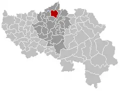 | |
| Coordinates: 50°42′N 05°39′E / 50.700°N 5.650°E | |
| Country | |
| Community | French Community |
| Region | Wallonia |
| Province | Liège |
| Arrondissement | Liège |
| Government | |
| • Mayor | Serge Fillot (PS) |
| • Governing party/ies | PS, CDH |
| Area | |
| • Total | 36.09 km2 (13.93 sq mi) |
| Population (2018-01-01)[1] | |
| • Total | 25,297 |
| • Density | 700/km2 (1,800/sq mi) |
| Postal codes | 4680-4684 |
| NIS code | 62079 |
| Area codes | 04 |
| Website | www.oupeye.be |
Oupeye (French pronunciation: [upɛj]; Walloon: Oûpêye) is a municipality of Wallonia located in the province of Liège, Belgium.
On January 1, 2006, Oupeye had a total population of 23,581. The total area is 36.11 km² which gives a population density of 653 inhabitants per km².
The municipality consists of the following districts: Haccourt, Hermalle-sous-Argenteau, Hermée, Heure-le-Romain, Houtain-Saint-Siméon, Oupeye, and Vivegnis.
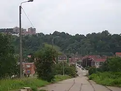
Chertal
.jpg.webp)
Abandoned Chertal steel factory
Chertal is a narrow isthmus approximately 1.5 km southeast of Oupeye bounded by the Albert Canal and Meuse. Since 1963 the land has been the site of a steel factory founded by Espérance-Longdoz (as of 2010 part of ArcelorMittal Liège).
See also
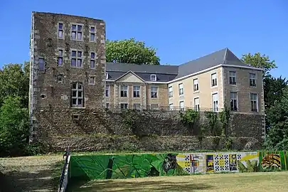 Castle of Oupeye
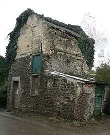 Rest of medieval keep in Hauts de Froidmont
_-_62079-CLT-0003-01.JPG.webp) Ruins of castle around church in Haccourt
Ruins of castle around church in Haccourt
References
- ↑ "Wettelijke Bevolking per gemeente op 1 januari 2018". Statbel. Retrieved 9 March 2019.
External links
 Media related to Oupeye at Wikimedia Commons
Municipalities in the province of Liège, Wallonia | ||
|---|---|---|
| Huy | 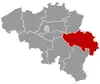 | |
| Liège | ||
| Verviers | ||
| Waremme | ||
| ||
This article is issued from Wikipedia. The text is licensed under Creative Commons - Attribution - Sharealike. Additional terms may apply for the media files.