Stoumont | |
|---|---|
 | |
 Flag  Coat of arms | |
Location of Stoumont | |
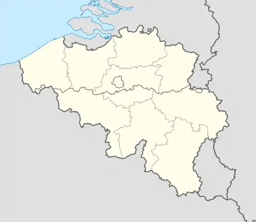 Stoumont Location in Belgium
Location of Stoumont in the province of Liège 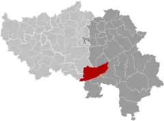 | |
| Coordinates: 50°25′N 05°48′E / 50.417°N 5.800°E | |
| Country | |
| Community | French Community |
| Region | Wallonia |
| Province | Liège |
| Arrondissement | Verviers |
| Government | |
| • Mayor | Didier Gilkinet |
| • Governing party/ies | VivrEnsemble |
| Area | |
| • Total | 108.54 km2 (41.91 sq mi) |
| Population (2018-01-01)[1] | |
| • Total | 3,104 |
| • Density | 29/km2 (74/sq mi) |
| Postal codes | 4987 |
| NIS code | 63075 |
| Area codes | 080 |
| Website | www.stoumont.be |
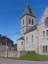
Church: l'église Saint-Hubert
Stoumont (French pronunciation: [stumɔ̃]) is a municipality of Wallonia located in the province of Liège, Belgium.
On January 1, 2006, Stoumont had a total population of 3,006. The total area is 108.45 km2 which gives a population density of 28 inhabitants per km2.
The municipality consists of the following districts: Chevron, La Gleize, Lorcé, Rahier, and Stoumont.
See also
References
- ↑ "Wettelijke Bevolking per gemeente op 1 januari 2018". Statbel. Retrieved 9 March 2019.
External links
 Media related to Stoumont at Wikimedia Commons
Places adjacent to Stoumont | |
|---|---|
Municipalities in the province of Liège, Wallonia | ||
|---|---|---|
| Huy |  | |
| Liège | ||
| Verviers | ||
| Waremme | ||
| ||
This article is issued from Wikipedia. The text is licensed under Creative Commons - Attribution - Sharealike. Additional terms may apply for the media files.