Héron
| |
|---|---|
.jpg.webp) | |
 Flag  Coat of arms | |
Location of Héron | |
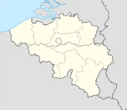 Héron Location in Belgium
Location of Héron in the province of Liège 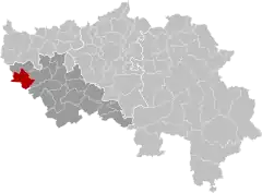 | |
| Coordinates: 50°33′N 05°05′E / 50.550°N 5.083°E | |
| Country | |
| Community | French Community |
| Region | Wallonia |
| Province | Liège |
| Arrondissement | Huy |
| Government | |
| • Mayor | Eric Hautphenne (PS) |
| • Governing party/ies | LB-Ecolo OuVert |
| Area | |
| • Total | 38.41 km2 (14.83 sq mi) |
| Population (2018-01-01)[1] | |
| • Total | 5,277 |
| • Density | 140/km2 (360/sq mi) |
| Postal codes | 4217, 4218 |
| NIS code | 61028 |
| Area codes | 085 |
| Website | www.heron.be |
Héron (French pronunciation: [eʁɔ̃] ⓘ; Walloon: Héron) is a municipality of Wallonia located in the province of Liège, Belgium.
Geography
Héron is located on the river Mehaigne.
The municipality consists of the following districts: Couthuin, Héron, Lavoir, and Waret-l'Évêque.
Demography
On 1 January 2006 Héron had a total population of 4,534. The total area is 38.32 km2 which gives a population density of 118 inhabitants per km2.
Facilities
Héron is home to Couthuin Airport.
Gallery
 Saint Hubertus church in Lavoir
.jpg.webp) Potesta castle in Envoz
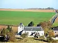
Potesta castle in Envoz.jpg.webp) Typical old farm in Héron (17th century).
Typical old farm in Héron (17th century).
References
- ↑ "Wettelijke Bevolking per gemeente op 1 januari 2018". Statbel. Retrieved 9 March 2019.
External links
 Media related to Héron (Belgium) at Wikimedia Commons
- Official website
Municipalities in the province of Liège, Wallonia | ||
|---|---|---|
| Huy |  | |
| Liège | ||
| Verviers | ||
| Waremme | ||
| ||
This article is issued from Wikipedia. The text is licensed under Creative Commons - Attribution - Sharealike. Additional terms may apply for the media files.