Cocotitlán | |
|---|---|
Municipality and town | |
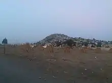
 Cocotitlán Location in Mexico | |
| Coordinates: 19°13′N 98°51′W / 19.217°N 98.850°W | |
| Country | |
| State | Mexico (state) |
| Government | |
| • Municipal President | Miguel Florín González (2013-2015) |
| Area | |
| • Total | 10.45 km2 (4.03 sq mi) |
| Elevation | 2,300 m (7,500 ft) |
| Population (2010) | |
| • Total | 12,142 |
| Time zone | UTC-6 (Central Standard Time) |
| • Summer (DST) | UTC-5 (Central Daylight Time) |
| Website | Official site |
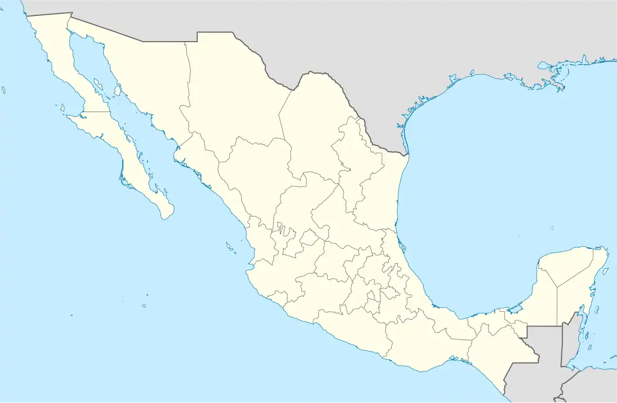
Cocotitlán is a town and municipality, in State of Mexico in Mexico. The municipality covers an area of 10.45 km².
Cocotitlán
As of 2010, the municipality had a total population of 12,142.[1]
References
- ↑ "Cocotitlán". México en Cifras. Instituto Nacional de Estadística y Geografía. Archived from the original on March 17, 2015. Retrieved April 17, 2015.
This article is issued from Wikipedia. The text is licensed under Creative Commons - Attribution - Sharealike. Additional terms may apply for the media files.