Papalotla | |
|---|---|
 Seal | |
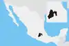
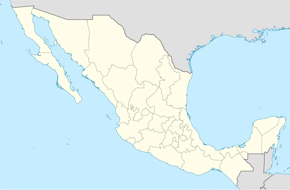 Papalotla Location in Mexico | |
| Coordinates: 19°33′44″N 98°51′28″W / 19.56222°N 98.85778°W | |
| Country | |
| State | State of Mexico |
| Municipal seat | Papalotla |
| Government | |
| • Mayor | Luis Enrique Islas Rincon |
| Area | |
| • Total | 3.59 km2 (1.39 sq mi) |
| Population (2005) | |
| • Total | 3,766 |
| Time zone | UTC-6 (Central Standard Time) |
| • Summer (DST) | UTC-5 (Central Daylight Time) |
Papalotla is a municipality in the State of Mexico in Mexico. The municipality covers an area of 3.59 km2 (1 sq mi).
In 2005, the municipality had a total population of 3766.[1]
References
- ↑ "Papalotla". Enciclopedia de los Municipios de México. Instituto Nacional para el Federalismo y el Desarrollo Municipal. Archived from the original on January 28, 2007. Retrieved June 6, 2009.
This article is issued from Wikipedia. The text is licensed under Creative Commons - Attribution - Sharealike. Additional terms may apply for the media files.