Conceição do Jacuípe | |
|---|---|
Municipality | |
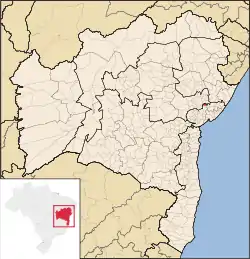 Location in Bahia | |
| Coordinates: 12°19′37″S 38°45′54″W / 12.32694°S 38.76500°W | |
| Country | Brazil |
| State | Bahia |
| Meso-region | Centro Norte Baiano |
| Micro-Region | Feira de Santana |
| Government | |
| • Mayor | Tânia Marli Ribeiro Yoshida |
| Area | |
| • Total | 117.53 km2 (45.38 sq mi) |
| Elevation | 248 m (814 ft) |
| Population 2020 (est.) [1] | |
| • Total | 33,398 |
| • Density | 280/km2 (740/sq mi) |
| Demonym | Conjacuipense |
| Time zone | UTC−3 (BRT) |
| Area/distance code | (00)55 |
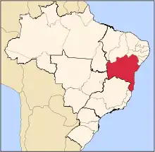
Conceição do Jacuípe is a municipality in the state of Bahia in the North-East region of Brazil[2]
Neighboring municipalities
See also
References
- ↑ IBGE 2020
- ↑ "Conceição do Jacuípe" (in Portuguese). Brasília, Brazil: Instituto Brasileiro de Geografia e Estatística (Brazilian Institute of Geography and Statistics). 2017. Retrieved 2017-08-10.
This article is issued from Wikipedia. The text is licensed under Creative Commons - Attribution - Sharealike. Additional terms may apply for the media files.