Darlove, Mississippi | |
|---|---|
 Darlove  Darlove | |
| Coordinates: 33°13′55″N 90°47′04″W / 33.23194°N 90.78444°W | |
| Country | United States |
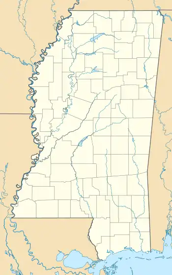
| State | Mississippi |
| County | Washington |
| Elevation | 108 ft (33 m) |
| Time zone | UTC-6 (Central (CST)) |
| • Summer (DST) | UTC-5 (CDT) |
| ZIP code | 38748 |
| Area code | 662 |
| GNIS feature ID | 669116[1] |
Darlove is an unincorporated community located in Washington County, Mississippi, Darlove is approximately 7 miles (11 km) southwest of Kinlock and approximately 9 miles (14 km) north-northeast of Hollandale.
Darlove is located on the west boundary of the Holt Collier National Wildlife Refuge, and the Bogue Phalia, a tributary of the Sunflower River, flows next to the community.
References
Municipalities and communities of Washington County, Mississippi, United States | ||
|---|---|---|
| Cities | 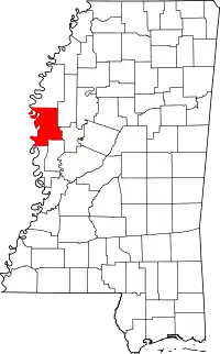 Map of Mississippi highlighting Washington County | |
| Towns | ||
| CDPs | ||
| Other communities | ||
| Ghost towns | ||
This article is issued from Wikipedia. The text is licensed under Creative Commons - Attribution - Sharealike. Additional terms may apply for the media files.