Napanee, Mississippi | |
|---|---|
  Napanee, Mississippi 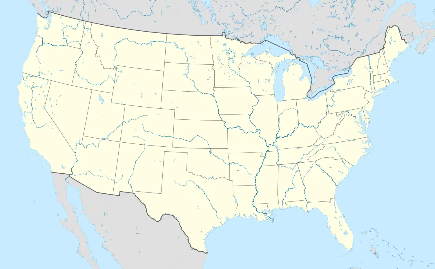 Napanee, Mississippi | |
| Coordinates: 33°30′22″N 90°52′15″W / 33.50611°N 90.87083°W | |
| Country | United States |
| State | Mississippi |
| County | Washington |
| Elevation | 121 ft (37 m) |
| Time zone | UTC-6 (Central (CST)) |
| • Summer (DST) | UTC-5 (CDT) |
| GNIS feature ID | 692096[1] |
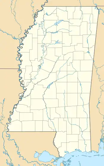
Napanee is an unincorporated community in northern Washington County, in the U.S. state of Mississippi.[1]
The community is located along Clear Creek just west of that stream's confluence with Bogue Phalia. A large fish farm lies just north of the location. Helm, on U.S. 61, lies two miles to the east.[2]
History
Napanee was a stop on a now-abandoned short-line railroad constructed by Delta Southern Railway in 1904.[3][4] The Napanee Plantation was located in the area.[3]
A post office called Napanee was established in 1905, and remained in operation until 1912.[5] The name "Napanee" is possibly of Choctaw language origin; it's purported to mean "something to twist or braid".[6]
References
- 1 2 3 U.S. Geological Survey Geographic Names Information System: Napanee
- ↑ Choctaw, MS, 15 Minute Topographic Quadrangle, USGS, 1969
- 1 2 Hall, Russell S.; Nowell, Princella W.; Childress, Stacy (2000). Washington County, Mississippi. Arcadia. pp. 46, 80. ISBN 9780738506555.
- ↑ "Stations and Structures on Current and Former Railroad Lines in Mississippi". Mississippi Railroad Information. Retrieved August 21, 2019.
- ↑ "Post Offices". Jim Forte Postal History. Retrieved August 20, 2019.
- ↑ Baca, Keith A. (2007). Native American Place Names in Mississippi. University Press of Mississippi. p. 62. ISBN 978-1-60473-483-6.
Municipalities and communities of Washington County, Mississippi, United States | ||
|---|---|---|
| Cities | 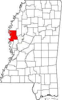 Map of Mississippi highlighting Washington County | |
| Towns | ||
| CDPs | ||
| Other communities | ||
| Ghost towns | ||
This article is issued from Wikipedia. The text is licensed under Creative Commons - Attribution - Sharealike. Additional terms may apply for the media files.