Daverdisse
| |
|---|---|
 | |
 Coat of arms | |
Location of Daverdisse | |
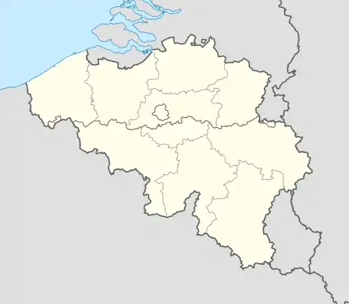 Daverdisse Location in Belgium
Location of Daverdisse in Luxembourg province 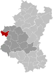 | |
| Coordinates: 50°01′N 05°07′E / 50.017°N 5.117°E | |
| Country | |
| Community | French Community |
| Region | Wallonia |
| Province | Luxembourg |
| Arrondissement | Neufchâteau |
| Government | |
| • Mayor | Maxime Léonet |
| • Governing party/ies | POUR! |
| Area | |
| • Total | 56.87 km2 (21.96 sq mi) |
| Population (2018-01-01)[1] | |
| • Total | 1,407 |
| • Density | 25/km2 (64/sq mi) |
| Postal codes | 6929 |
| NIS code | 84016 |
| Area codes | 061 |
| Website | www.daverdisse.be |
Daverdisse (French pronunciation: [davɛʁdis]; Walloon: Dåvdisse) is a municipality of Wallonia located in the province of Luxembourg, Belgium.
On 1 January 2007, the municipality, which covers 56.4 km2, had 1,372 inhabitants, giving a population density of 24.3 inhabitants per km2.
The municipality consists of the following districts: Daverdisse, Gembes, Haut-Fays, and Porcheresse.
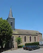
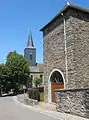 Near St Peter's Church
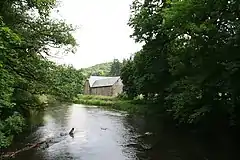 The Lesse river and the Mohimont Farm
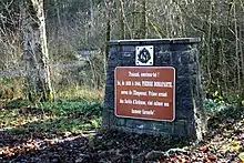 Memorial plate dedicated to prince Pierre Bonaparte
References
- ↑ "Wettelijke Bevolking per gemeente op 1 januari 2018". Statbel. Retrieved 9 March 2019.
External links
 Media related to Daverdisse at Wikimedia Commons
- Discover Daverdisse and the other villages of the municipality
- Official site of the Municipality of Daverdisse
Places adjacent to Daverdisse | |
|---|---|
Municipalities of the province of Luxembourg, Wallonia | ||
|---|---|---|
| Arlon | 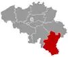 | |
| Bastogne | ||
| Marche-en-Famenne | ||
| Neufchâteau | ||
| Virton | ||
Bold indicates cities | ||
This article is issued from Wikipedia. The text is licensed under Creative Commons - Attribution - Sharealike. Additional terms may apply for the media files.