Geboltskirchen | |
|---|---|
.jpg.webp) | |
 Coat of arms | |
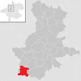 Location in the district | |
 Geboltskirchen Location within Austria | |
| Coordinates: 48°09′14″N 13°38′05″E / 48.15389°N 13.63472°E | |
| Country | Austria |
| State | Upper Austria |
| District | Grieskirchen |
| Government | |
| • Mayor | Friedrich Kirchsteiger (ÖVP) |
| Area | |
| • Total | 17.24 km2 (6.66 sq mi) |
| Elevation | 555 m (1,821 ft) |
| Population (2018-01-01)[2] | |
| • Total | 1,421 |
| • Density | 82/km2 (210/sq mi) |
| Time zone | UTC+1 (CET) |
| • Summer (DST) | UTC+2 (CEST) |
| Postal code | 4682 |
| Area code | 07732 |
| Vehicle registration | GR |
| Website | www.geboltskirchen.at |
Geboltskirchen is a municipality in the district of Grieskirchen in the Austrian state of Upper Austria.
Population
| Year | Pop. | ±% |
|---|---|---|
| 1817 | 1,263 | — |
| 1823 | 1,219 | −3.5% |
| 1883 | 1,241 | +1.8% |
| 1900 | 1,533 | +23.5% |
| 1910 | 1,709 | +11.5% |
| 1917 | 1,742 | +1.9% |
| 1923 | 1,822 | +4.6% |
| 1934 | 1,742 | −4.4% |
| 1943 | 1,706 | −2.1% |
| 1955 | 1,425 | −16.5% |
| 1961 | 1,517 | +6.5% |
| 1971 | 1,370 | −9.7% |
| 1981 | 1,416 | +3.4% |
| 1991 | 1,422 | +0.4% |
| 2001 | 1,410 | −0.8% |
| 2009 | 1,436 | +1.8% |
| 2016 | 1,414 | −1.5% |
| 2018 | 1,421 | +0.5% |
References
- ↑ "Dauersiedlungsraum der Gemeinden Politischen Bezirke und Bundesländer - Gebietsstand 1.1.2018". Statistics Austria. Retrieved 10 March 2019.
- ↑ "Einwohnerzahl 1.1.2018 nach Gemeinden mit Status, Gebietsstand 1.1.2018". Statistics Austria. Retrieved 9 March 2019.
Wikimedia Commons has media related to Geboltskirchen.
This article is issued from Wikipedia. The text is licensed under Creative Commons - Attribution - Sharealike. Additional terms may apply for the media files.