Georgetown Airport | |||||||||||
|---|---|---|---|---|---|---|---|---|---|---|---|
| Summary | |||||||||||
| Airport type | Public | ||||||||||
| Operator | Etheridge Shire Council | ||||||||||
| Location | Georgetown, Queensland | ||||||||||
| Elevation AMSL | 995 ft / 303 m | ||||||||||
| Coordinates | 18°18′09″S 143°31′53″E / 18.30250°S 143.53139°E | ||||||||||
| Map | |||||||||||
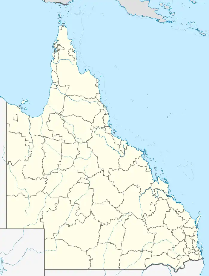 GTT/YGTN Location in Queensland | |||||||||||
| Runways | |||||||||||
| |||||||||||
Georgetown Airport (IATA: GTT, ICAO: YGTN) is located 1 nautical mile (1.9 km; 1.2 mi) southwest[1] of Georgetown, Queensland, Australia.
See also
References
- 1 2 YGTN – Georgetown (PDF). AIP En Route Supplement from Airservices Australia, effective 2023-11-30, Aeronautical Chart
This article is issued from Wikipedia. The text is licensed under Creative Commons - Attribution - Sharealike. Additional terms may apply for the media files.