Thangool Airport | |||||||||||||||
|---|---|---|---|---|---|---|---|---|---|---|---|---|---|---|---|
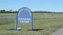 Thangool Airport, 2014 | |||||||||||||||
| Summary | |||||||||||||||
| Airport type | Public | ||||||||||||||
| Operator | Banana Shire Council | ||||||||||||||
| Serves | Thangool, Queensland | ||||||||||||||
| Location | Thangool, Queensland | ||||||||||||||
| Elevation AMSL | 644 ft / 196 m | ||||||||||||||
| Coordinates | 24°29′38″S 150°34′44″E / 24.49389°S 150.57889°E | ||||||||||||||
| Map | |||||||||||||||
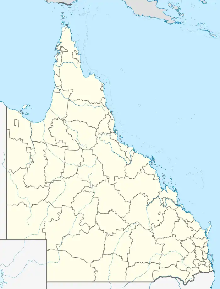 YTNG Location in Queensland | |||||||||||||||
| Runways | |||||||||||||||
| |||||||||||||||
Thangool Airport (IATA: THG, ICAO: YTNG) is an airport at 42 Aerodrome Road, Thangool, Shire of Banana, Queensland, Australia. It is also known as Thangool Aerodrome. It is operated by the Banana Shire Council.[2]
Airlines and destinations

Thangool Airport terminal, 2014
| Airlines | Destinations |
|---|---|
| Link Airways | Brisbane[3] |
See also
References
Wikimedia Commons has media related to Thangool Airport.
- ↑ YTNG – Thangool (PDF). AIP En Route Supplement from Airservices Australia, effective 2023-11-30, Aeronautical Chart Archived 10 April 2012 at the Wayback Machine
- ↑ "Aerodromes". Banana Shire Council. Retrieved 10 January 2021.
- ↑ "404 Page | Link Airways".
{{cite web}}: Cite uses generic title (help)
This article is issued from Wikipedia. The text is licensed under Creative Commons - Attribution - Sharealike. Additional terms may apply for the media files.